Atlantic Analysis
The Hurricane Atlantic Analysis image show the current surface features (highs/lows/fronts/tropical cyclones) in the Atlantic Ocean.
This map isn’t available right now. Its images are refreshed every few minutes, so please try again shortly.
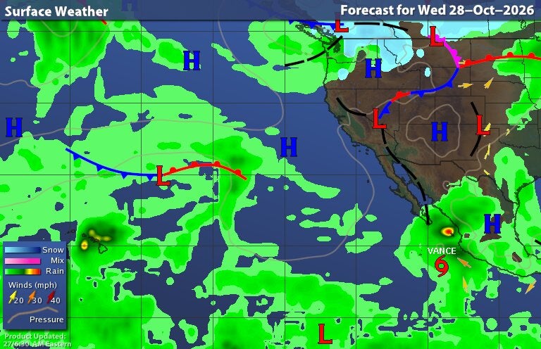
The Hurricane Pacific Forecast image shows the 24 hour forecast surface features (highs/lows/fronts/tropical cyclones) in the Pacific Ocean.

The Hurricane Atlantic Analysis image show the current surface features (highs/lows/fronts/tropical cyclones) in the Atlantic Ocean.

The Hurricane Atlantic Forecast image shows the 24 hour forecast surface features (highs/lows/fronts/tropical cyclones) in the Atlantic Ocean.

The Hurricane Pacific Analysis image shows the current and forecast positions of any active tropical cyclones in the central and eastern Pacific Ocean.

The Hurricane Pacific Forecast image shows the 24 hour forecast surface features (highs/lows/fronts/tropical cyclones) in the Pacific Ocean.