United States Infrared Satellite
The United States satellite images displayed are infrared (IR) images.
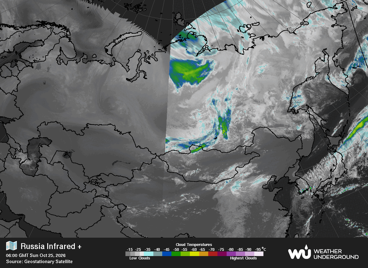
This map isn’t available right now. Its images are refreshed every few minutes, so please try again shortly.
The Global Infrared Satellite image shows clouds by their temperature. Red and blue areas indicate cold (high) cloud tops. Infrared (IR) radiation is electromagnetic radiation whose wavelength is longer than that of visible light, but shorter than that of terahertz radiation and microwaves. Weather satellites equipped with scanning radiometers produce thermal or infrared images which can then enable a trained analyst to determine cloud heights and types, to calculate land and surface water temperatures, and to locate ocean surface features.

The United States satellite images displayed are infrared (IR) images.
The visible satellite imagery is essentially a snapshot of what the satellite sees.
The Global Infrared Satellite image shows clouds by their temperature.

The visible satellite imagery is essentially a snapshot of what the satellite sees.