
Above: Visible satellite image of Invest 91L at 1857Z (2:57 pm EDT) Tuesday, May 26, 2020. (tropicaltidbits.com)
An elongated disturbance that doused the Miami area from Sunday into Monday was pulling northward just off the northeast Florida coast on Tuesday afternoon, and there is a slight chance it could become a tropical depression before moving into the Carolinas on Wednesday. In a special Tropical Weather Outlook issued at 8 am EDT Tuesday, the NOAA/NWS National Hurricane Center gave the system, dubbed Invest 91L, 20% odds of development into at least a depression by Friday. The actual window for development will close on Wednesday once the system moves inland across North Carolina, so there is little time for 91L to gain much strength as a tropical cyclone. Update: At 4:50 pm EDT Tuesday, NHC upgraded the odds of development to 30%.
Whether or not it becomes a depression, 91L is on track to drench much of South and North Carolina and western Virginia with 2” – 4” of rain. Soils are saturated across much of this area after a very wet May so far. The NOAA/NWS Weather Prediction Center included a slight risk of excessive rain across the area for Wednesday in their Tuesday-morning Day 2 outlook, and they mentioned the possibility of an upgrade to a moderate or even a high risk over parts of the Southern Appalachians.
Widespread rains of 4” – 8” fell across southeast Florida from Sunday into early Monday, as a distinct small-scale circulation wrapped up along the broad disturbance. A CoCoRaHS station near Hobe Sound in Martin County reported 10.53” for the 24 hours ending at 9 am EDT Tuesday, and a mesonet station near Tequesta in Palm Beach reported 10.44” as of 5:15 am EDT.
First storm of the Eastern Pacific hurricane season possible this weekend
The Eastern Pacific’s hurricane season got off to a record-early start on April 25, when TD 1E formed well to the southwest of Mexico. This was the earliest appearance of the basin’s first tropical depression by two weeks. TD 1E did not develop into Tropical Storm Amanda, however, but that occurrence may come about this weekend, when an area of low pressure is expected to form off the coast of El Salvador/ Guatemala/Mexico and potentially develop into the season’s first named storm.
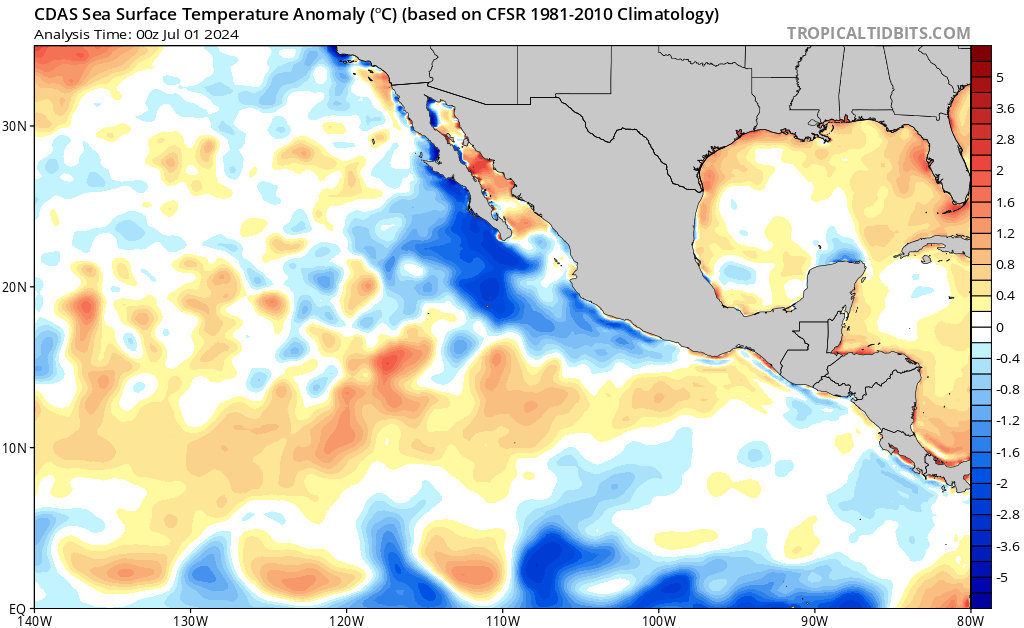
The low may manifest as a very large circulation covering much of Central America and surrounding areas of the Atlantic and Pacific oceans, known as a Central American Gyre (CAG). These systems are notorious heavy rainmakers, and regardless of the future storm’s eventual track or intensity, it is likely to spread heavy rains over much of Central America and southern Mexico beginning on Saturday. The low will be feeding off very warm Eastern Pacific waters of 31 – 32°C (88 - 90°F, which is 1 - 2°C (1.8 – 3.6°F) above average.
CAGs are also capable of spawning tropical cyclones in both the Atlantic and Eastern Pacific. Category 5 Hurricane Michael of October 2018 was spawned by a Central American Gyre.
The Tuesday morning runs of two of our top three of our top models for predicting tropical cyclone genesis—the GFS and UKMET models—predicted that a tropical depression would form in the Eastern Pacific on Saturday off the coast of El Salvador, then move north and make landfall over El Salvador or Guatemala on Sunday. The European model delayed genesis until Sunday, predicting a more northwesterly track for the storm into southern Mexico on Monday. If the storm does cross Central America into the Atlantic, the potential exists for it to become an Atlantic named storm, as suggested by roughly half of the GFS ensemble runs from 0Z Tuesday.
In their 11 am PDT Tuesday Tropical Weather Outlook, NHC gave 5-day odds of development of 70% to what could eventually become TD 2E.
An intense cyclone may develop in the Arabian Sea in about a week
Though there is uncertainty over the location and timing, long-range runs of the GFS and European models have been strongly suggesting that an intense tropical cyclone could form in the Arabian Sea about 6-8 days from now. Such a cyclone could end up tracking as far west as the Arabian Peninsula or as far east as the west coast of India. It is far too soon to place any confidence on specific track or intensity forecasts, but the consistent long-range signal for a strong cyclone suggests it’s not too soon to begin keeping an eye on model forecasts for the Arabian Sea.
Dr. Jeff Masters co-wrote this post.


