
| Above: MODIS true-color satellite image of 99L off the coast of Africa as seen on Thursday morning, August 3, 2017. Image credit: NASA. |
A strong tropical wave that emerged from the coast of Africa on Wednesday was located about 500 miles southeast of the Cabo Verde Islands on Thursday morning, and was headed west to west-northwest at 10 – 15 mph. This system was designated 99L by the National Hurricane Center on Thursday morning, and has a greater potential to become a hurricane than the large majority of the Atlantic disturbances we’ve seen so far this year. However, 99L is expected to struggle with dry air next week, and could easily fizzle out.
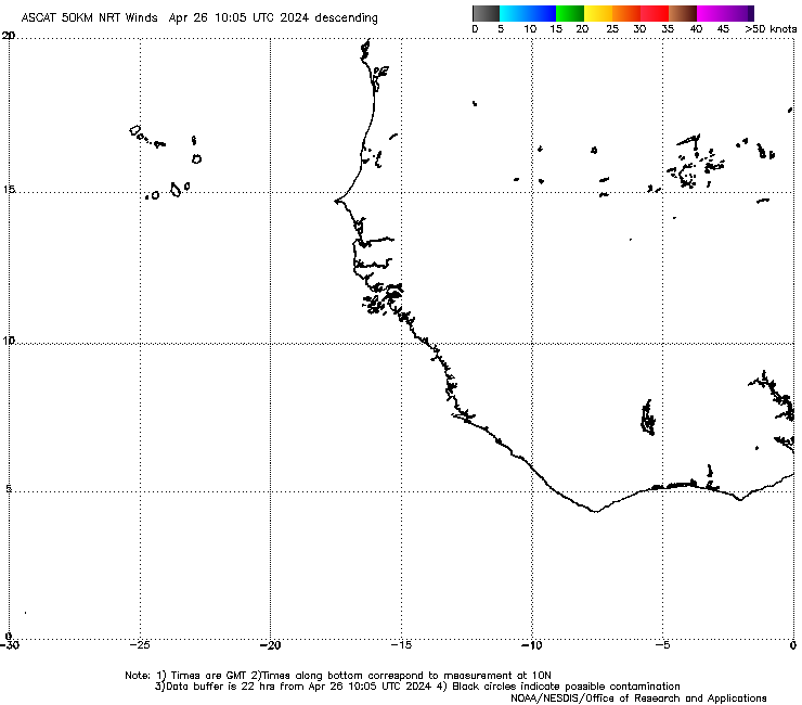
99L was under moderate wind shear of 10 – 15 knots on Thursday morning, and had ocean temperatures adequate for development: 27.5 - 28°C (81 - 82°F). The dry air of the Saharan Air Layer was to the north of the wave, but not close enough to seriously impede development. Relative humidity at mid-levels of the atmosphere as analyzed by the 12Z Thursday run of the SHIPS model was high--about 75%. Satellite loops showed that 99L had impressive size, a good deal of spin, and low-level spiral bands already beginning to appear. An ASCAT pass at 6:36 am EDT Thursday showed that 99L had a closed (but elongated) surface circulation centered near 8.5°N, 20°W, with top winds of about 25 mph in the heavy thunderstorms to the northeast of the center. This position is close enough to the equator that 99L will have trouble leveraging the Earth's spin to help get itself spinning over the next few days.
 |
| Figure 1: The Saharan Air Layer (SAL) analysis from 8 am EDT Thursday, August 3, 2017, showed a large tropical wave with plenty of moisture, 99L, off the coast of Africa. The dry air of SAL was well to the north, and not interfering significantly with development. Image credit: University of Wisconsin CIMSS/NOAA Hurricane Research Division. |
Forecast for 99L
The 0Z Thursday runs of our top three models for predicting tropical cyclone genesis--the European, UKMET and GFS models--all predicted development of 99L occurring early next week in the Central Atlantic. The UKMET model was the most aggressive with the storm, showing 99L impacting the Lesser Antilles Islands next Wednesday as a hurricane. The European model showed 99L developing by Sunday, but then predicted that dry air and increasing wind shear would kill the storm by Tuesday. Only 3 of the model’s 50 ensemble members showed 99L surviving long enough to become a threat to the U.S. mainland. Future struggles for 99L were also predicted by the 12Z Thursday run of the SHIPS model, which forecasted that the system would work its way far enough to the north early next week to encounter increasingly drier, more stable air associated with the Saharan Air Layer. Relative humidity at mid-levels of the atmosphere of 50% were predicted for Monday. At that time, the model also predicted that 99L would be encountering higher wind shear near 20 knots, as well as SSTs of marginal warmth for tropical cyclones--near 26.5°C (80°F). However, the 0Z and 6Z Thursday runs of the GFS model predicted fewer struggles for 99L, showing that the storm would pass about 500 miles north of the Lesser Antilles Islands next Friday, August 11, and continue on to an eventual landfall as a hurricane on the U.S. East Coast the following week. All 20 of the 0Z GFS ensemble members showed 99L tracking near or north of the Lesser Antilles as a tropical cyclone next week, and about a third suggested the potential East Coast threat later on. Considering that 99L appears to be consolidating pretty far to the south, near 9°N, I think a more southerly track into the Lesser Antilles is more likely. In their 8 am Thursday Tropical Weather Outlook, NHC gave 99L 2-day and 5-day odds of development of 30% and 60%, respectively. At this early stage of 99L's existence, there is high uncertainty on whether or not it will develop, and where it will go. But keep in mind that we are now in the early portion of the dangerous peak part of the Atlantic hurricane season, and disturbances like today's 99L are the type of system that often become destructive hurricanes.
Another area to watch: the Northwest Caribbean and Bay of Campeche
The European model ensemble from 0Z Thursday suggested that a tropical depression could form over the northwest Caribbean early next week, perhaps moving west-northwestward across the Yucatan Peninsula and into the Bay of Campeche. About 40% of the Euro ensemble members showed this feature. However, the GFS ensembles showed a plume of dry air sweeping through the region, and none of the 20 ensemble members showed tropical development in the northwest Caribbean. The operational UKMET model from 0Z Thursday also showed no development. Should a tropical system make it into the Bay of Campeche, where storms can intensify quickly, it would merit watching as a potential landfall threat to the northeast coast of Mexico or south Texas, as depicted by several Euro ensemble members.
 |
| Figure 2. Blended visible/infrared satellite image of Typhoon Noru as of 1330Z (9:30 am EDT) Thursday, August 3, 2017. Image credit: CIMMS/SSEC/UW-Madison. |
A weaker Noru still heading for Japan
Once a Category 5 behemoth, Typhoon Noru was down to Category 2 strength on Thursday, but may still cause problems for southwestern Japan over the next week. Noru has begun its bend toward the west-northwest, which will take it into Japan’s northern Ryukyu islands on Saturday. Models agree on a sharp bend northward that will pull Noru over or just west of the larger island of Kyushu on Sunday and Monday. The GFS and European models continue to show rapid intensification of Noru over the next couple of days, but this is almost certainly overdone; a more reliable intensity model, HWRF, calls for a more modest strengthening, perhaps to Category 3 strength, as Noru swings over the very warm waters off Kyushu over the weekend. Rainfall amounts of 20” or more could occur over the next few days, especially over the northern Ryukyu Islands and the eastern parts of Kyushu.
Astronauts on the International Space Station got an incomparable view of Noru at its peak earlier this week, as shown in the example below.
Bob Henson co-wrote this post.
When Mother Nature gets to spinning, it can be an awesome but scary sight. Looks like super Typhoon #Noruis gaining momentum. #EarthShapes pic.twitter.com/hR8gyYlhEs
— Jack Fischer (@Astro2fish) August 1, 2017


