
| Above: Tropical wave 94L as seen at 9:45 am EDT September 9, 2019. Image credit: tropicaltidbits.com. |
The National Hurricane Center (NHC) issued its final advisory on post-tropical cyclone Dorian on Sunday night, finally putting an end to forecasts for this nightmare storm. Dorian's name will surely be retired after the season for its apocalyptic impact on The Bahamas and the destructuve beatings it gave to the Carolinas and Canadian Maritime Provinces. With Dorian gone, it is time to turn our attention to three areas of disturbed weather in the Atlantic with the potential to develop later this week.
Little change to 94L headed towards the Lesser Antilles
A tropical wave (94L) located at 11am EDT Monday near 14N, 45W, midway between the Lesser Antilles Islands and the Cabo Verde Islands, was headed west at 10 - 15 mph. This system has changed little since Saturday, and has very poor model support for development.
Satellite images on Monday morning showed that 94L had a modest amount of spin and a modest amount of heavy thunderstorm activity. The relatively limited heavy thunderstorm activity was due to dry air, as seen on the latest Saharan Air Layer Analysis. The system appeared less organized than on Sunday.
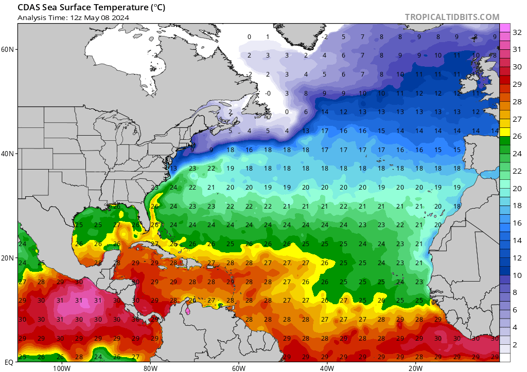
The 6Z Monday run of the SHIPS model predicted that the atmosphere in front of 94L would have mostly favorable conditions for development over the next two days, with low wind shear and sea surface temperatures of 28 – 29°C (82 – 84°F). However, mid-level relative humidity was predicted to remain near 55%, which is on the dry side. Dry air will inhibit development unless 94L can generate enough heavy thunderstorm activity to moisten the atmosphere. Late this week, as the wave nears the Lesser Antilles islands, it will encounter moderate wind shear that will make development more difficult.
The 0Z and 6Z Monday runs of our three top models for predicting tropical cyclone genesis—the GFS, European and UKMET—all showed no support for development, and none of the 70 members of the 0Z ensemble runs of the GFS and European models showed 94L reaching the Lesser Antilles Islands as a tropical depression.
The tropical wave is predicted to take a track mostly to the west over the coming week, and 94L could arrive in the Lesser Antilles Islands as early as Friday, September 13. In their 8 am EDT Monday Tropical Weather Outlook, NHC gave this system 2-day and 5-day odds of development of 20% and 30%, respectively. The next name on the Atlantic list of storms is Humberto.
 |
| Figure 1. Sea surface temperatures (SSTs) have warmed notably over the tropical Atlantic’s Main Development Region (MDR) for hurricanes in recent weeks, thanks to weak trade winds from a positive phase of the North Atlantic Oscillation (NAO), combined with the lack of hurricanes to traverse this region thus far in 2019. These warmer-than-average SSTs (about 0.6°C or 1.0°F above average) will increase the odds that a major hurricane will be able to form in the MDR during the remainder of the season. Note the cool water wake that Hurricane Dorian left behind through The Bahamas and along the Southeast U.S. coast. Even so, SSTs in those areas remain warm enough to support a tropical cyclone. Image credit: tropicaltidbits.com. |
Next wave to watch is emerging from the coast of Africa
A tropical wave that was emerging from the coast of Africa on Monday had strong model support for development to occur late this week into early next week. This wave, which had not yet been given an “Invest” assignment by NHC, had a high amount of spin but limited heavy thunderstorm activity on Monday morning, as seen on satellite imagery.
The 0Z Monday UKMET model predicted development of this wave late this week in the central tropical Atlantic, midway between the Lesser Antilles Islands and Africa. The 0Z GFS and European models predicted development would occur early next week near the Lesser Antilles Islands. The tropical wave will benefit from the moister atmosphere that 94L has created in its wake. In their 8 am EDT Monday Tropical Weather Outlook, NHC did not mention the wave, but it deserves 5-day formation odds of 10% at this point. Update: In their 2 pm EDT Monday outlook, NHC added this wave and gave it 20% odds of development in the 5-day period.
Disturbance headed towards The Bahamas
An area of disturbed weather associated with a low pressure system was bringing disorganized heavy thunderstorms to the waters several hundred miles northeast of Puerto Rico on Monday morning. This system will spread heavy rains into the southeast Bahamas and Turks and Caicos Islands beginning on Tuesday, and heavy rains of 2 – 4” can be expected over southern portions of The Bahamas Tuesday through Saturday. The disturbance is likely to bring rains of at least 1 – 2” to South Florida Friday through Sunday. This system has support for development from about 10 – 20% of the 70 ensemble members of the 0Z Monday GFS and European models. In their 8 am EDT Monday Tropical Weather Outlook, NHC gave this system 2-day and 5-day odds of development of 0% and 20%, respectively.
Gabrielle not long for this world
Tropical Storm Gabrielle was over the open North Atlantic on Monday morning, far from any land areas, heading northeast at 18 mph into the cold waters of the North Atlantic graveyard for tropical cyclones. Gabrielle is expected to die by Tuesday night.
Conditions have calmed down for the time being in the Northwest Pacific after a weekend with two landfalls. Typhoon Lingling caused at least five deaths in North Korea and three deaths in South Korea, and Typhoon Faxai—one of the strongest to make a direct hit on Tokyo in recent decades—killed at least three people in Japan, knocking out power to nearly a million people.


