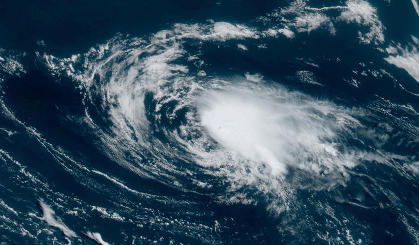
| Above: Tropical Depression Chantal, located southeast of Newfoundland, Canada, as seen at 9:40 am EDT August 22, 2019. Image credit: NOAA/RAMMB. |
After spending just under a day as a minimal tropical storm with 40 mph winds, Chantal is now a tropical depression in the far north Atlantic waters southeast of Newfoundland, Canada. Chantal is not a threat to any land areas.
Chantal destined to be quickly forgotten
Chantal was experiencing very marginal conditions for sustaining a tropical cyclone on Thursday morning, with moderate wind shear of 10 - 20 knots, ocean temperatures (SSTs) near 26°C (79°F), and a dry atmosphere with a mid-level relative humidity of 30%. Satellite images showed that although Chantal had a vigorous circulation, heavy thunderstorm activity was limited to a small area on the storm’s northeast side, due to dry air and high wind shear.
According to the 12Z Thursday run of the SHIPS model, challenging conditions will continue for Chantal over the next two days, with SSTs expected to be near 26°C in a dry atmosphere with mostly moderate wind shear. These conditions are likely to weaken Chantal to a remnant low by Saturday. Chantal is one of those weak, short-lived named storms that could easily have escaped detection in the pre-satellite era.
 |
| Figure 1. The next system to watch: an area of disturbed weather over The Bahamas that was producing a modest area of disorganized heavy thunderstorm activity at 9:40 am EDT Thursday, August 22, 2019. Image credit: NOAA/RAMMB. |
A disturbance in The Bahamas is worth watching
The next system to watch is an area of low pressure over The Bahamas that was producing a moderately-sized area of disorganized heavy thunderstorm activity on Thursday morning.
The Thursday morning runs of our top models for predicting tropical cyclone genesis--the European, GFS, and UKMET models--all predicted the possibility of the season’s next tropical depression or tropical storm coming early next week from this system, as it takes a track roughly parallel to and just offshore of the Southeast U.S. coast. Steering currents suggest a motion to the north-northeast by early next week, which would potentially put coastal North Carolina at risk of a heavy rain event on Sunday and Monday. In their 8 am EDT Thursday Tropical Weather Outlook, NHC gave this system 2-day and 5-day odds of development of 0% and 20%, respectively. The next name on the Atlantic list of storms is Dorian.
Tropical Storm Ivo forms in the Northeast Pacific
Tropical Storm Ivo formed in the Pacific waters about 550 miles south-southeast of Cabo San Lucas, Mexico on Wednesday afternoon. Ivo’s formation date of August 21 comes very close to the usual formation date for the Eastern Pacific’s ninth storm of the season, which is August 24 (based on a 1966-2009 climatology). So far in 2019, there have been 9 named storms, 4 hurricanes, and 2 major hurricanes in the Northeast Pacific—right at the average levels of activity we typically see by this date, which are 9 named storms, 4 hurricanes, and 2 major hurricanes.
Forecast models agree that Ivo’s track over the next several days will keep it far enough off the Mexican coast to avoid major impacts. Moderate wind shear (10 – 20 knots) and warm SSTs (29-30°C or 84-86°F) should allow Ivo to intensify into a Category 1 hurricane by Friday. Much cooler waters off the Baja Peninsula should lead to the system’s rapid demise this weekend or early next week.


