
| Above: Invest 94L in the Central Atlantic as seen at 11:45 am EDT July 5, 2017. The storm had a meager but increasing amount of heavy thunderstorm activity on the west side of a fairly well-defined surface circulation. Image credit: NOAA |
Tropical wave 94L in the Central Atlantic has developed a fairly well-defined low-level circulation and is likely to become a tropical depression by Thursday. At 8 am EDT Wednesday, 94L was located about 800 miles west-southwest of the Cabo Verde Islands, near 11°N, 36°W. After remaining nearly stationary for about two days, 94L finally began a long-anticipated west to west-northwesterly motion at about 10 mph late Wednesday morning.
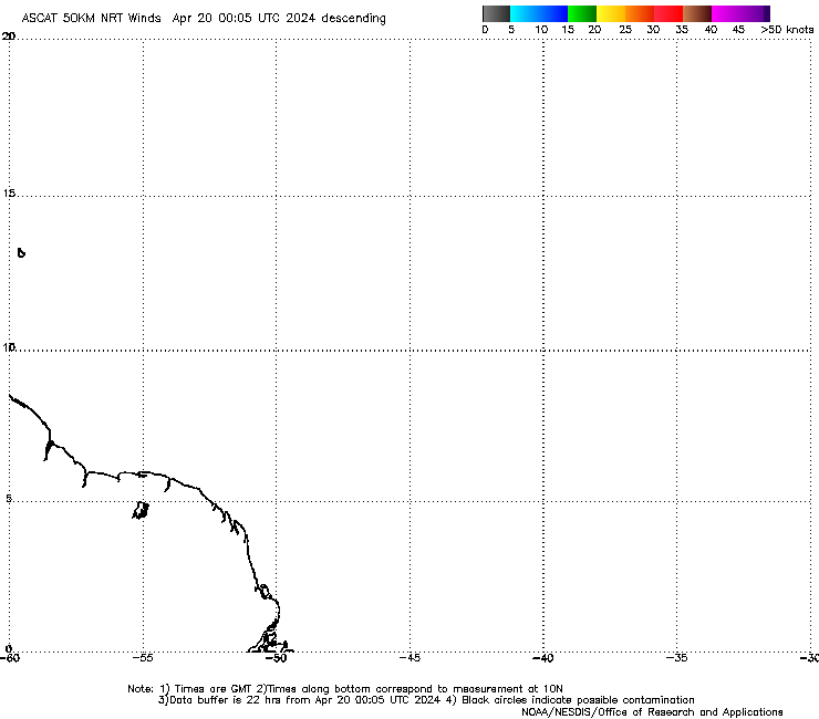
Satellite images on Wednesday morning showed that 94L had a moderately well-defined surface circulation, but heavy thunderstorm activity was meager and limited to the west side of the circulation. An 8:17 am EDT Wednesday pass from ASCAT showed the surface circulation as well, but saw top winds of only 20 – 25 mph. However, the satellite did not sample the west side of the circulation, where all of the heavy thunderstorms are located. Development was likely being retarded by dry air, thanks to a presence of the Saharan Air Layer (SAL) just to the north. Wind shear was moderate, 10 - 15 knots, and sea surface temperatures (SSTs) were warm enough for development, near 27°C (81°F)--about 1°F above the seasonal norm.
 |
| Figure 1: The Saharan Air Layer (SAL) analysis from 8 am EDT Wednesday, July 5, 2017, showed a large area of dry Saharan air in the tropical Atlantic north of about 12°N. Invest 94L was just to the south of the SAL. Image credit: University of Wisconsin CIMSS/NOAA Hurricane Research Division. |
Favorable conditions for development through Thursday, then turning unfavorable
Conditions through Thursday are marginally favorable for development, as diagnosed by the 12Z Wednesday run of the SHIPS model: wind shear should mostly be moderate, mid-level relative humidity will be moderately moist (65 - 75%), and SSTs will be marginally warm enough for development--in the 26 - 27°C (79 - 81°F) range. The Madden-Julian Oscillation (MJO), a periodic pulse of thunderstorm activity that circles equatorial regions of the globe every few weeks, is in a phase that will help development of Atlantic tropical cyclones this week. 94L has separated itself from the large band of heavy thunderstorms called the Intertropical Convergence Zone (ITCZ), so 94L will not have to compete with thunderstorm clusters of the ITCZ for moisture any longer.
These conditions should allow 94L to develop into a tropical depression on Wednesday or Thursday. In their 8 am EDT Wednesday Tropical Weather Outlook, the National Hurricane Center (NHC) gave 94L 2-day and 5-day odds of tropical cyclone development of 70%. About 70% of the 50 members of the 0Z Wednesday European ensemble forecast and 100% of the 20 members of the 0Z Wednesday GFS ensemble forecast predicted development of 94L into Tropical Storm Don this week. The models showed a west-northwest track for the storm this week, bringing it about 200 - 500 miles north of the Lesser Antilles Islands by Sunday. On this track, the storm will move into a large area of dry, stable air associated with the Saharan Air Layer (SAL), which will interfere with development. On Friday, wind shear is expected to rise to a high 20 knots, and increase further to 30 knots over the weekend. These are very hostile conditions for a tropical storm to survive, and most of the models and their ensembles show 94L weakening or dissipating this weekend. At this point, 94L is not looking like a long-range threat to affect any land areas as a tropical cyclone.
CSU, TSR raise odds for an active Atlantic hurricane season
Odds have risen for an active Atlantic hurricane season, according to the forecast updates issued by two leading seasonal prediction groups this week. In their July 5 outlook, Dr. Phil Klotzbach and Dr. Michael Bell (Colorado State University) called for 15 named storms, 8 hurricanes, 3 major hurricanes and an accumulated cyclone energy (ACE) of 132. These numbers include the three tropical storms already observed this year: Arlene, Bret and Cindy. The CSU team boosted the numbers from its June 1 outlook, which called for 14 named storms, 6 hurricanes, 2 major hurricanes, and an ACE of 100. Their April 14 outlook called for 11 named storms, 4 hurricanes, 2 major hurricanes and an ACE of 75.
The July 4 forecast for the 2017 Atlantic hurricane season made by British private forecasting firm Tropical Storm Risk, Inc. (TSR) also showed increased numbers: 17 named storms, 7 hurricanes, 3 intense hurricanes and an Accumulated Cyclone Energy (ACE) of 116. Their May 26 forecast predicted 14 named storms, 6 hurricanes, 3 intense hurricanes and an Accumulated Cyclone Energy (ACE) of 98. The long-term averages for the past 65 years are 11 named storms, 6 hurricanes, 3 intense hurricanes and an ACE of 101.
The two main reasons for the upgraded forecast given by both groups:
—a reduced likelihood of a significant El Niño this year
—warming of the tropical Atlantic relative to the seasonal norm


