
| Above: Visibile satellite image of Invest 92L, centered over the Florida Panhandle, at 10:10 am EDT July 9, 2019. Image credit: NOAA/RAMMB. |
Heavy thunderstorms have begun to fire up over the northern Gulf of Mexico in association with an area of low pressure (92L) centered over the Florida Panhandle on Tuesday morning. This system was headed south at about 5 mph and has the potential to develop into a tropical depression as early as Wednesday. Regardless of development, a large section of the northern coast of the Gulf of Mexico will see very heavy rains of 3+ inches over the coming week. In their 8 am EDT Tuesday Graphical Tropical Weather Outlook, the National Hurricane Center (NHC) gave 92L 2-day and 5-day odds of development of 50% and 80%, respectively.
 |
| Figure 1. Predicted 7-day rainfall amounts ending at 8 am EDT Tuesday, July 16, 2019. A tropical disturbance (92L) is predicted to bring heavy rains of 5+ inches (orange colors) to Gulf Coast from Texas to Louisiana. Image credit: NOAA. |
Favorable conditions for development expected
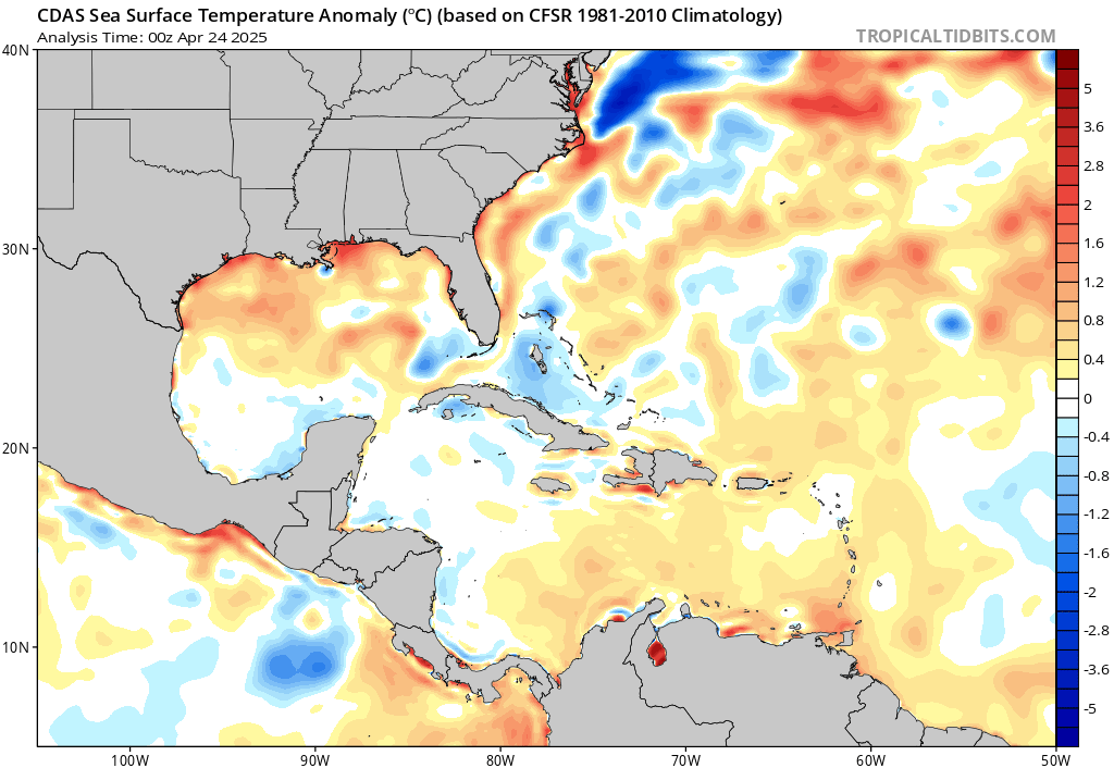
Generally favorable conditions for development are expected late this week over the northern Gulf of Mexico. Florida had its third warmest June on record, and this has allowed sea surface temperatures (SSTs) over the northeastern Gulf to become unusually warm, near 30 - 31°C (86 - 88°F), more than 1°C (1.8°F) above average. Wind shear was a moderate 10 – 20 knots on Tuesday morning, and was predicted to remain at this level through Saturday by the 12Z Tuesday run of the SHIPS model. The atmosphere will be moist enough to support development, with a mid-level relative humidity near 60%—though some dry air over Louisiana may wrap into the disturbance on Wednesday, slowing development.
All three of our top models for predicting tropical cyclone formation—the European, GFS, and UKMET models—predicted with their 0Z Tuesday runs that a tropical depression or tropical storm would develop in the northeastern Gulf of Mexico by Thursday. By Thursday, steering currents over the Gulf of Mexico will shift, resulting in 92L turning to the west and moving at a forward speed of about 5 mph. On this track, the models agree that the system should make landfall somewhere along the Louisiana or Texas coast on Saturday.
 |
| Figure 2. Departure of SST from average for July 9, 2019. SSTs over the northern Gulf of Mexico were generally at least 1°C (1.8°F) above average, thanks to one of the warmest Junes on record over the Gulf Coast states. Image credit: tropicaltidbits.com. |
The main impediment to development would appear to be how far 92L pushes offshore, the resulting level of land interaction, and the amount of time 92L has over water. The system will be disorganized when it moves over the Gulf of Mexico on Tuesday night or Wednesday morning, and it will likely take the disturbance a day or two to take advantage of the favorable conditions for development and become a tropical storm. The 0Z and 6Z Tuesday runs of the GFS model showed 92L hugging the coast that did not manage to get vertically aligned, resulting in limited development of a very broad and poorly-organized storm. The 12Z Tuesday runs of the SHIPS and LGEM intensity models, which use the GFS model as input, predicted that 92L would peak on Friday with top winds of 50 mph and 35 mph, respectively. The 0Z Tuesday runs of the European and UKMET models predicted 92L would be able to push farther offshore, resulting in formation of a tropical storm that might approach Category 1 hurricane strength by Friday.
Given the major differences between the model solutions, there is higher than usual uncertainty in the forecast, since small-scale details of where thunderstorms develop during the next day will ultimately determine how far offshore 92L will ultimately get, how much land interaction will occur, and how much time the system has over water. At this point, we can be confident that much of Gulf Coast will get a soaking, and that we will likely see a Tropical Storm Barry in the Gulf of Mexico by Friday. Levi Cowan has some excellent tweets and a Monday night video discussion that has more details on the forecast. A hurricane hunter aircraft is scheduled to investigate 92L on Wednesday afternoon, if necessary.
Analogue storms
Looking back through the archived hurricane data for the past century, I identified six named storms that may be useful analogues for 92L: westward-tracking systems that formed in June or July along a cold front or low-pressure system that moved off the U.S. coast (Figure 3). Three of these storms made landfall at hurricane strength, with the strongest being an unnamed 1943 hurricane that made landfall on July 27 in Texas’ Bolivar Peninsula with 105 mph winds.
 |
| Figure 3. Tracks of some analogue westward-tracking named storms from the past century that have formed in June or July along cold fronts or low-pressure systems that moved off the U.S. coast. Image credit: NOAA/CSC. |
The best rainfall analogue of these six storms might be Tropical Storm Dean, which made landfall near Freeport, Texas on July 30, 1995 as a weak tropical storm with 45 mph winds. Dean dumped widespread rainfall amounts of 3 – 5” along the Gulf Coast from Florida to Texas, with isolated areas in excess of a foot along inland from where it made landfall in Texas. The storm was responsible for one indirect death and less than $1 million in damage.
 |
| Figure 4. Rainfall totals for Tropical Storm Dean of 1995, which may be a decent analogue rain event for 92L, should 92L peak as a weak tropical storm. Dean dumped widespread rainfall amounts of 3 – 5” along the Gulf Coast from Florida to Texas, with isolated areas in excess of a foot along inland from where it made landfall in Texas. Image credit: NOAA. |
CSU updates seasonal #hurricane forecast - continues call for near-average season w/ 14 named storms, 6 hurricanes & 2 major hurricanes. While #ElNino threat has diminished slightly, tropical Atlantic SSTs are near average. Caribbean shear quite strong.https://t.co/sc2KX59p2w pic.twitter.com/IPEwMJ9Ere
— Philip Klotzbach (@philklotzbach) July 9, 2019


