
Current Weather
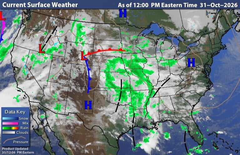
Composite National Current Weather Map.
This map isn’t available right now. Its images are refreshed every few minutes, so please try again shortly.
The Mixed Surface Analysis map shows a comprehensive analysis of current conditions and fronts at ground level using radar and infrared satellite imagery. The Surface Analysis loop animation shows sequential maps at 3 hour intervals for the past 18 hours. A surface weather analysis is a special type of weather map that provides a view of weather elements over a geographical area at a specified time based on information from ground-based weather stations. Weather maps are created by plotting or tracing the values of relevant quantities such as sea level pressure, temperature, and cloud cover onto a geographical map to help find synoptic scale features such as weather fronts.
