Skip to Main Content
_
Sensor Network
Maps & Radar
Severe Weather
News & Blogs
Mobile Apps
More
Search
close
gps_fixed
gps_fixed
Find Nearest Station
Manage Favorite Cities
Log In
Go Ad Free
account_box
Log in
Go Ad Free
settings
Settings
Sensor Network
Maps & Radar
Severe Weather
News & Blogs
Mobile Apps
Historical Weather
star
Current Weather for
Popular
Cities
San Francisco, CA
warning
60
°
F
Sunny
Manhattan, NY
53
°
F
Cloudy
Schiller Park, IL (60176)
warning
70
°
F
Partly Cloudy
Boston, MA
51
°
F
Cloudy
Houston, TX
warning
78
°
F
Partly Cloudy
St James's, England, United Kingdom
53
°
F
Partly Cloudy
Search
close
gps_fixed
gps_fixed
Find Nearest Station
Manage Favorite Cities
settings
warning
Active Advisory
:
Small Craft Advisory
(
See More
)
--
Feels like
--
--
--
/
--
--
--
--
--
--
--
--
--
--
12AM
6AM
NOON
6PM
12AM
May 1
+0000
May 2
Full Forecast
Nation's Strongest Tornado In Over A Year Batters Oklahoma
Tornadoes rated at least EF4 are rare, but they're the most deadly. Here is our perspective.
Nation's Strongest Tornado In Over A Year Batters Oklahoma
Intense Video Shows Nebraska Tornado’s Massive Debris Vortex
Frightening footage captured the moments a tornado tore through Lincoln, Nebraska, creating a massive, swirling mass of debris.
Intense Video Shows Nebraska Tornado’s Massive Debris Vortex
Bracing For Another Round Of Severe Weather
True to spring's nature, more rounds of severe weather are possible in the Plains and Midwest. Here's what to know.
Bracing For Another Round Of Severe Weather
When Will Your City Feel The Heat? The Incoming First 90-Degree Temps
We are heading into the time of year many cities see their first 90s. Here's when that happens, on average, by region.
When Will Your City Feel The Heat? The Incoming First 90-Degree Temps
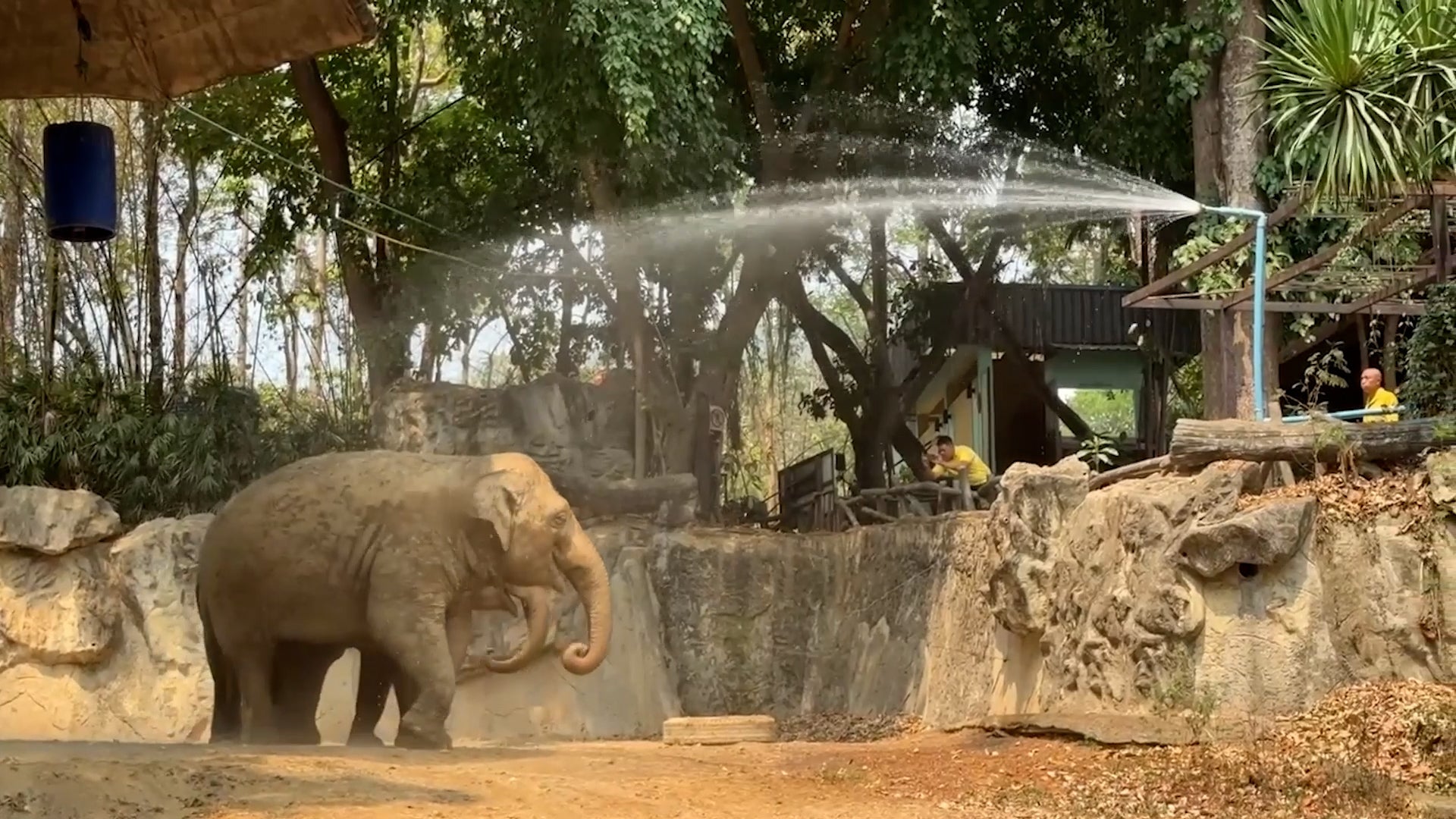
Baby Elephants Beating The Heat Is The Cutest Thing You'll See Today
The cutest baby elephants are getting some extra help to stay cool during a record-breaking heat wave in Thailand. Don’t watch this if you don’t want to smile!
Baby Elephants Beating The Heat Is The Cutest Thing You'll See Today
Please enable JavaScript to continue using this application.