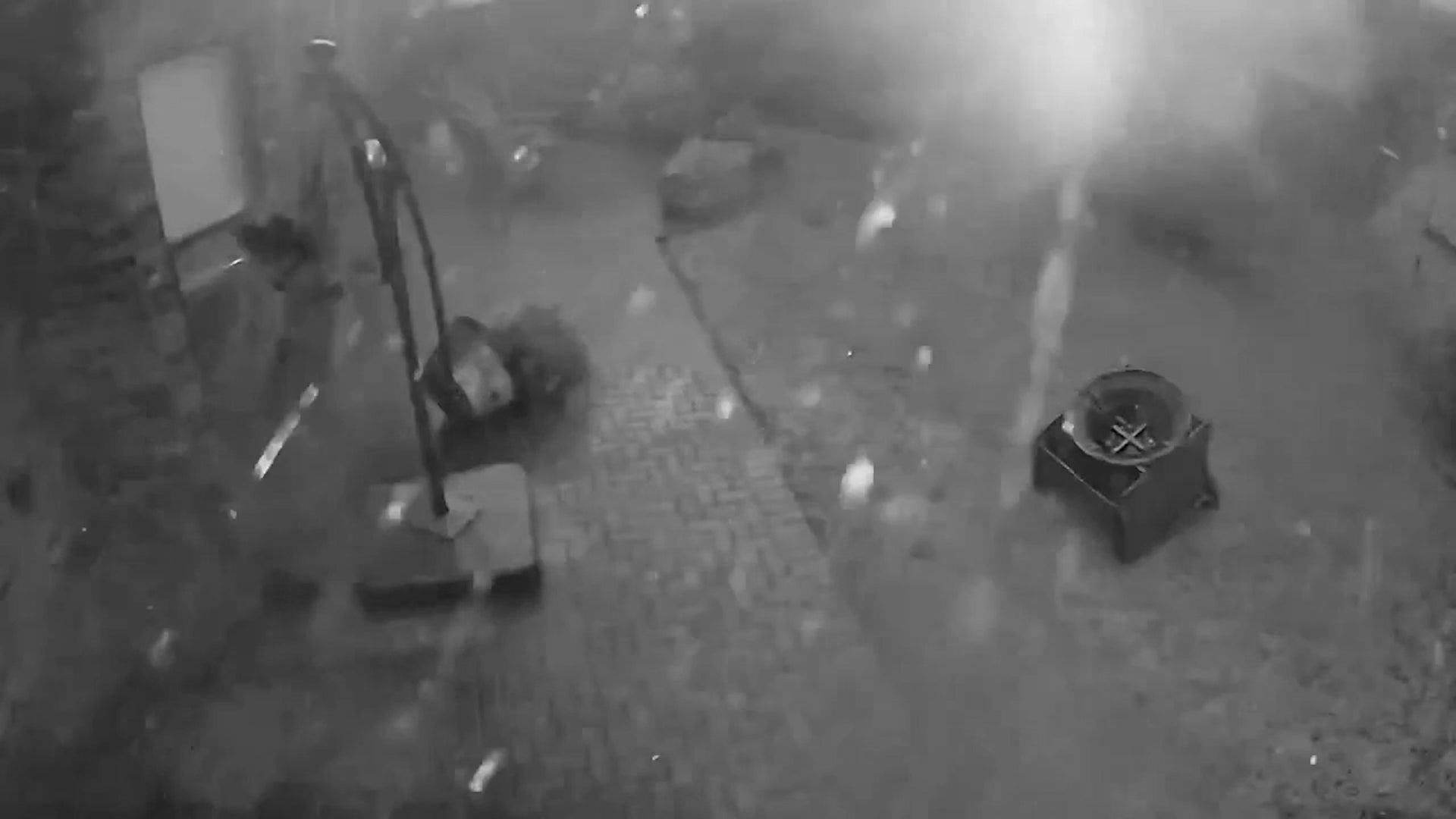
Flooding has been a problem in Huntsville, Texas, in recent weeks, and roads were underwater yet again Thursday as a storm system pushed through. Here’s a look at how this latest bout of flooding played out.
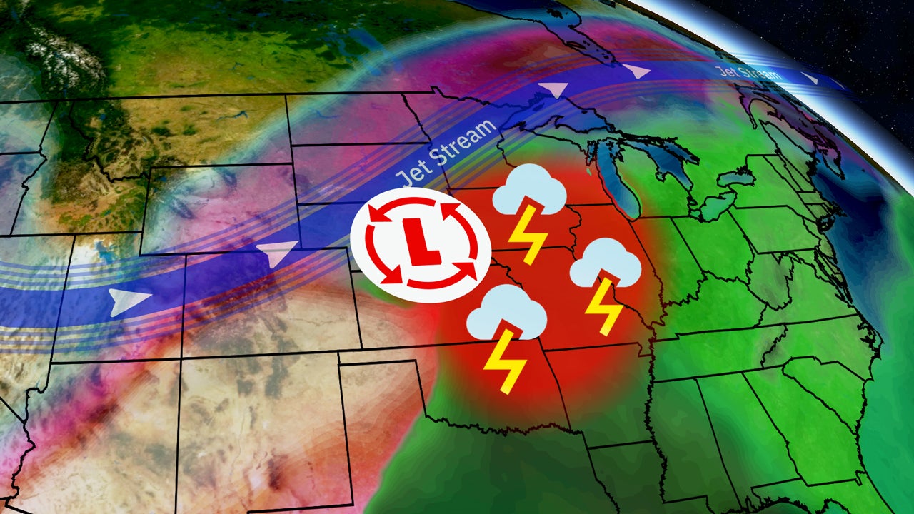
A low-pressure system brings heavy rain and severe thunderstorms to the South Friday before pushing east this weekend. Flash flooding is a very serious concern. Here’s what you need to know.