Skip to Main Content
_
Sensor Network
Maps & Radar
Severe Weather
News & Blogs
Mobile Apps
More
Search
close
gps_fixed
gps_fixed
Find Nearest Station
Manage Favorite Cities
Log In
Go Ad Free
account_box
Log in
Go Ad Free
settings
Settings
Sensor Network
Maps & Radar
Severe Weather
News & Blogs
Mobile Apps
Historical Weather
star
Current Weather for
Popular
Cities
San Francisco, CA
53
°
F
Cloudy
Manhattan, NY
49
°
F
Rain
Schiller Park, IL (60176)
56
°
F
Partly Cloudy
Boston, MA
49
°
F
Partly Cloudy
Houston, TX
71
°
F
Cloudy
St James's, England, United Kingdom
78
°
F
Cloudy
Search
close
gps_fixed
gps_fixed
Find Nearest Station
Manage Favorite Cities
settings
--
Feels like
--
--
--
/
--
--
--
--
--
--
--
--
--
--
12AM
6AM
NOON
6PM
12AM
May 12
+0000
May 13
Full Forecast
Northern Lights Put On A Rare Show
The aurora borealis, or northern lights, lit up skies as far south as Texas Friday night and into early Saturday morning. Here's what it looked like.
Northern Lights Put On A Rare Show
Where To Expect Rain, Storms In The Week Ahead
Rain and a few storms will surge back into the South and East in the first half of the week ahead. We aren't as concerned with severe weather, but there could be some flooding.
Where To Expect Rain, Storms In The Week Ahead
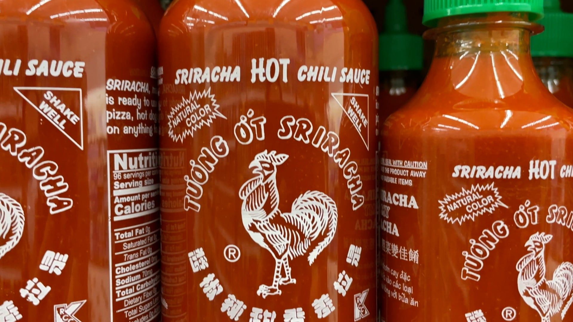
Popular Hot Sauce Could Be Hard To Find This Summer
The biggest maker of the popular Sriracha hot sauce has halted production until Labor Day, citing a problem with its peppers.
Popular Hot Sauce Could Be Hard To Find This Summer
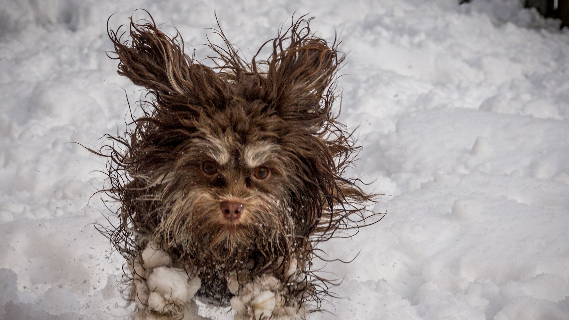
Goofy Pet Photo Award Finalists Revealed; The Images Are Hilarious
There’s a grinning donkey, some goofy horses, and a lot of funny cats and dogs. Which is your favorite Comedy Pet Photo Award finalist?
Goofy Pet Photo Award Finalists Revealed; The Images Are Hilarious
These Seasons Make Up The Deadliest Time Of Year
Warmer temperatures this time of year make many deadly weather threats more likely to happen.
These Seasons Make Up The Deadliest Time Of Year
Please enable JavaScript to continue using this application.