Rain and a few storms will surge back into the South and East in the first half of the week ahead. We aren't as concerned with severe weather, but there could be some flooding.
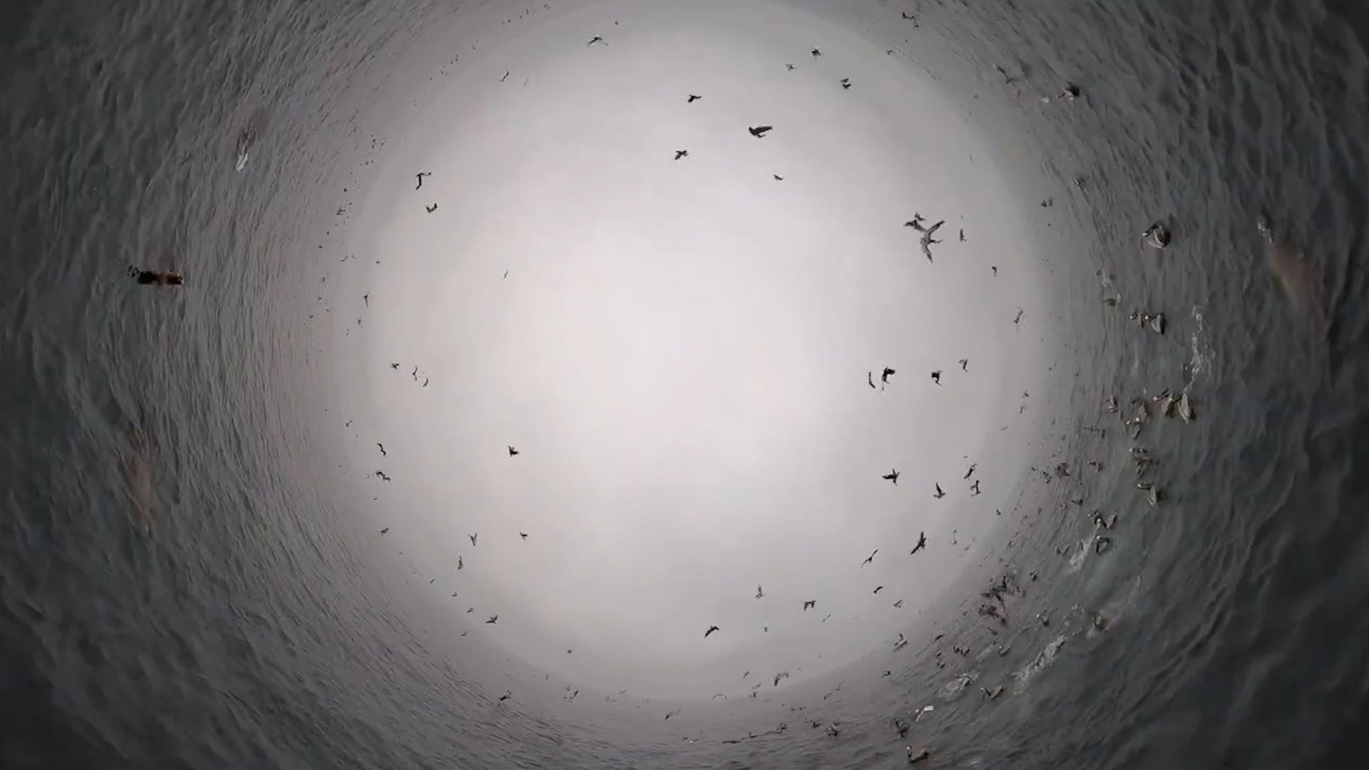
Pelicans, sea lions and dolphins, oh my! This paddleboarder hit the videography motherlode when he came across a feeding frenzy off the coast of Oxnard, California.