Days of heavy rain caused deadly flooding across southern Germany over the weekend. Thousands were forced to evacuate but many were trapped in their homes and cars. Watch the video to learn how one rescuer died while trying to save others.
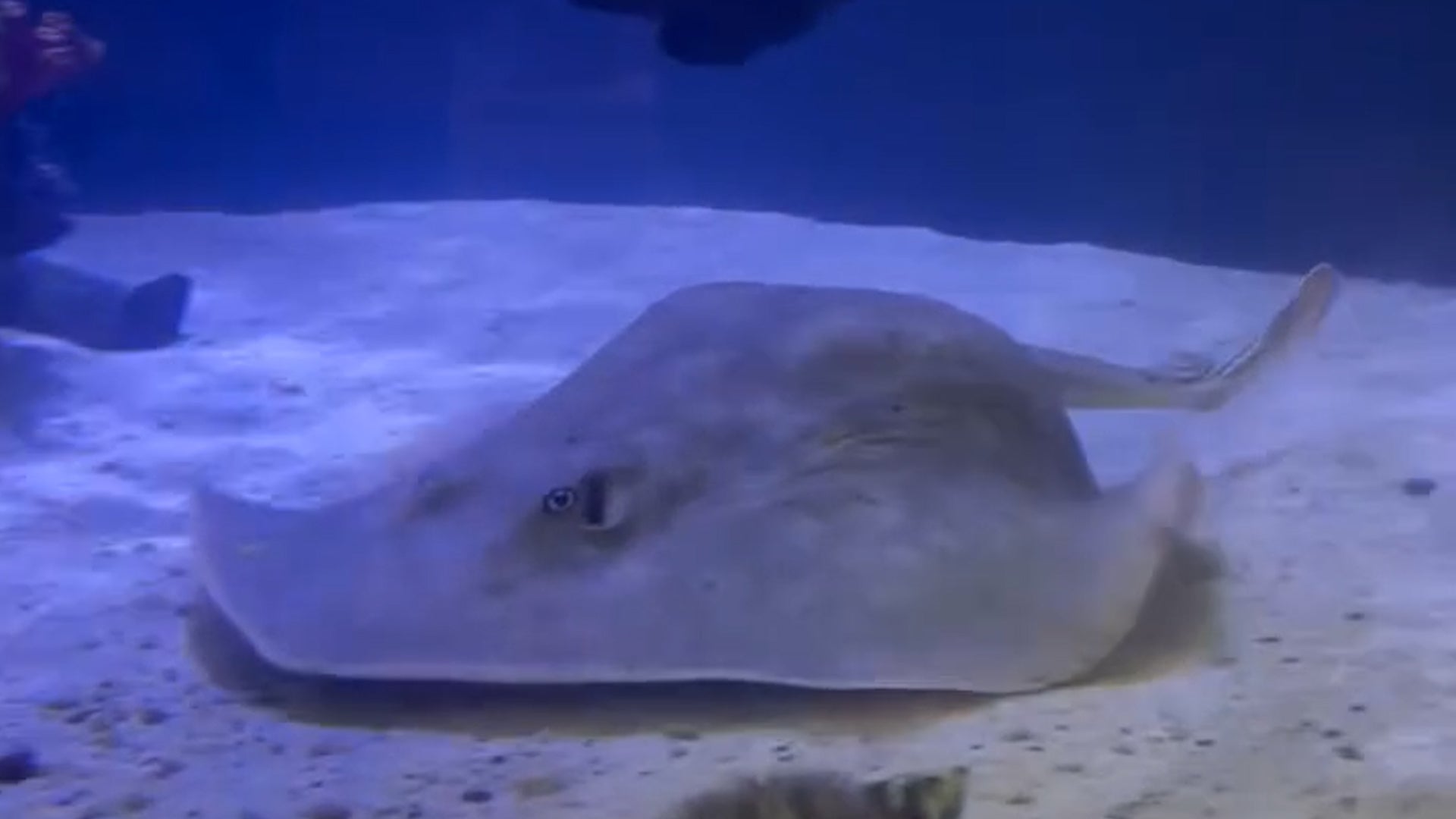
After months of anticipation, the aquarium housing Charlotte the stingray reveals a surprising update about her pregnancy, and a revelation about Charlotte’s health.