A day of swimming and fun turned to tragedy after a sudden storm triggered a deadly flash flood at a popular waterfall. Dramatic video shows how the rushing water sent people running for their lives.
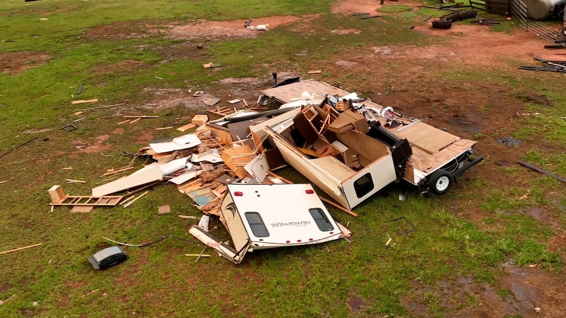
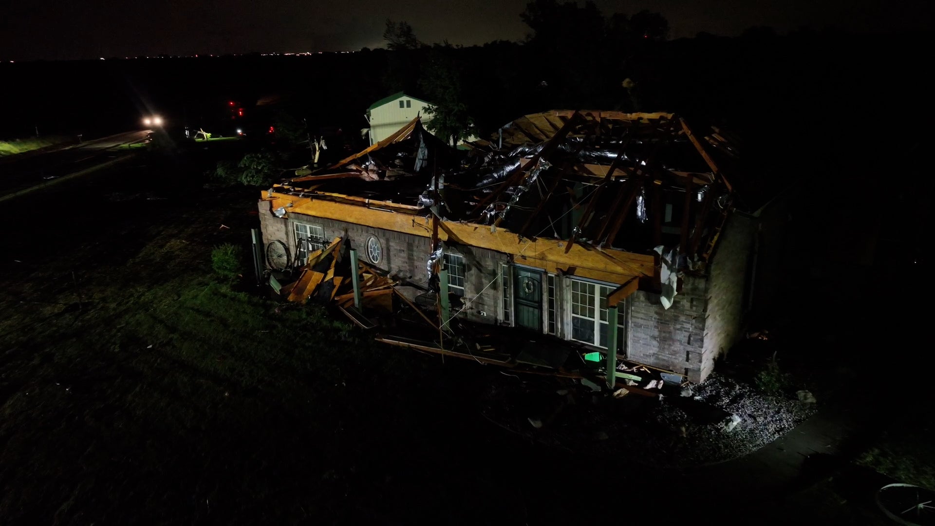
It was a long Sunday night for several towns in Oklahoma and Kansas as a round of powerful storms rolled into the region. Tornadoes left severe damage and a dust storm made travel nearly impossible. Here’s a look at every angle of these storms.