Skip to Main Content
_
Sensor Network
Maps & Radar
Severe Weather
News & Blogs
Mobile Apps
More
Search
close
gps_fixed
gps_fixed
Find Nearest Station
Manage Favorite Cities
Log In
Go Ad Free
account_box
Log in
Go Ad Free
settings
Settings
Sensor Network
Maps & Radar
Severe Weather
News & Blogs
Mobile Apps
Historical Weather
star
Current Weather for
Popular
Cities
San Francisco, CA
55
°
F
Partly Cloudy
Manhattan, NY
51
°
F
Cloudy
Schiller Park, IL (60176)
51
°
F
Clear
Boston, MA
44
°
F
Partly Cloudy
Houston, TX
72
°
F
Cloudy
St James's, England, United Kingdom
59
°
F
Sunny
Search
close
gps_fixed
gps_fixed
Find Nearest Station
Manage Favorite Cities
settings
--
Feels like
--
--
--
/
--
--
--
--
--
--
--
--
--
--
12AM
6AM
NOON
6PM
12AM
May 12
+0000
May 13
Full Forecast
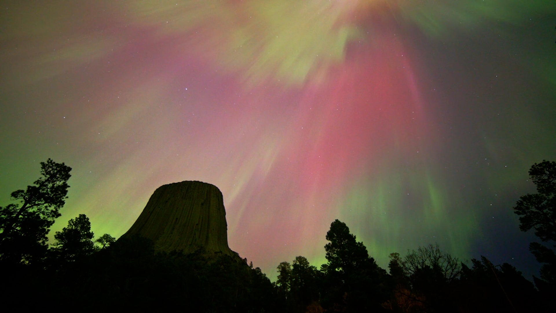
Northern Lights Put On A Rare Show
The aurora borealis, or northern lights, lit up skies as far south as Texas Friday night and into early Saturday morning. Here's what it looked like.
Northern Lights Put On A Rare Show
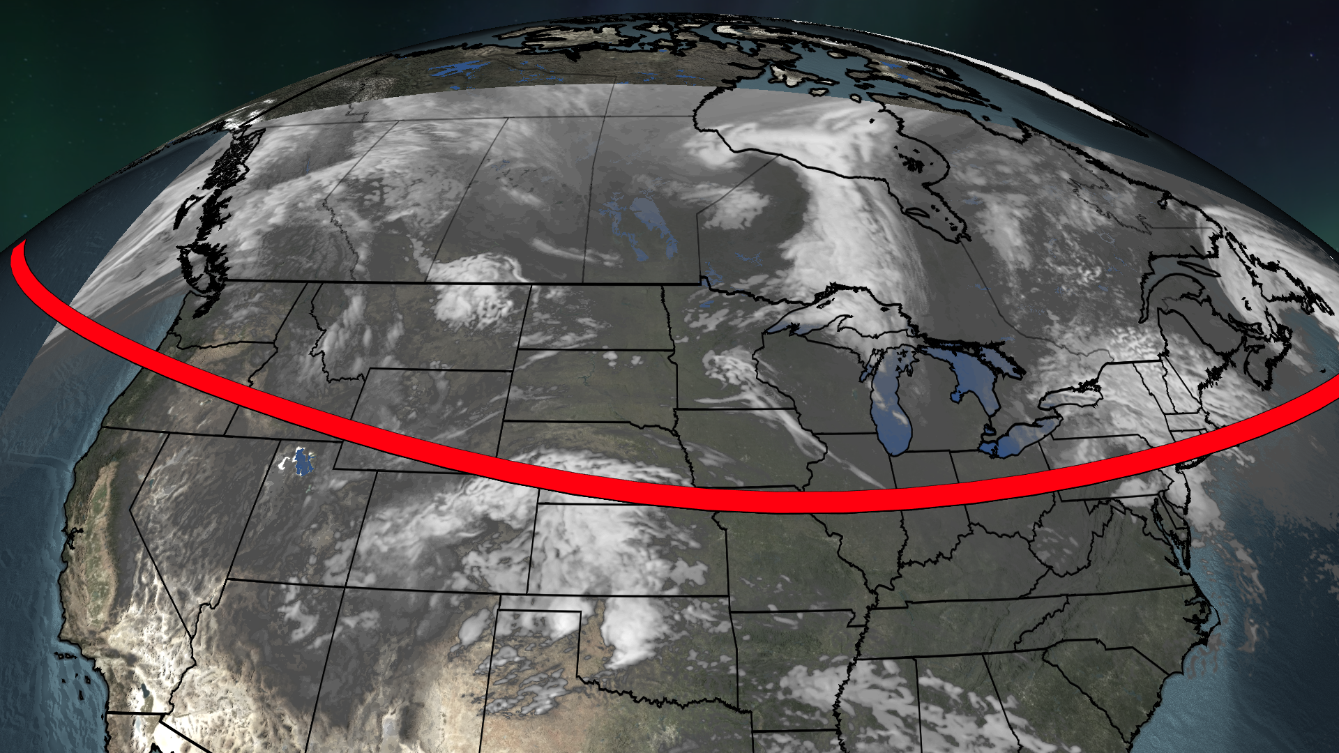
3 Things To Know About This Weekend's Solar Storm, Auroras
Get ready for a rare celestial event – here are the key things to know.
3 Things To Know About This Weekend's Solar Storm, Auroras
Goofy Pet Photo Award Finalists Revealed; The Images Are Hilarious
There’s a grinning donkey, some goofy horses, and a lot of funny cats and dogs. Which is your favorite Comedy Pet Photo Award finalist?
Goofy Pet Photo Award Finalists Revealed; The Images Are Hilarious
Your Second Chance To See The Aurora
If you missed Friday night’s light show, don’t worry. Here’s your second chance.
Your Second Chance To See The Aurora
Watch: Stunning Time-Lapse Of The Weekend's Stunning Celestial Show
The brilliant weekend northern lights display across the U.S. is your moment of Zen. Watch this video to see it in time lapse.
Watch: Stunning Time-Lapse Of The Weekend's Stunning Celestial Show
Please enable JavaScript to continue using this application.