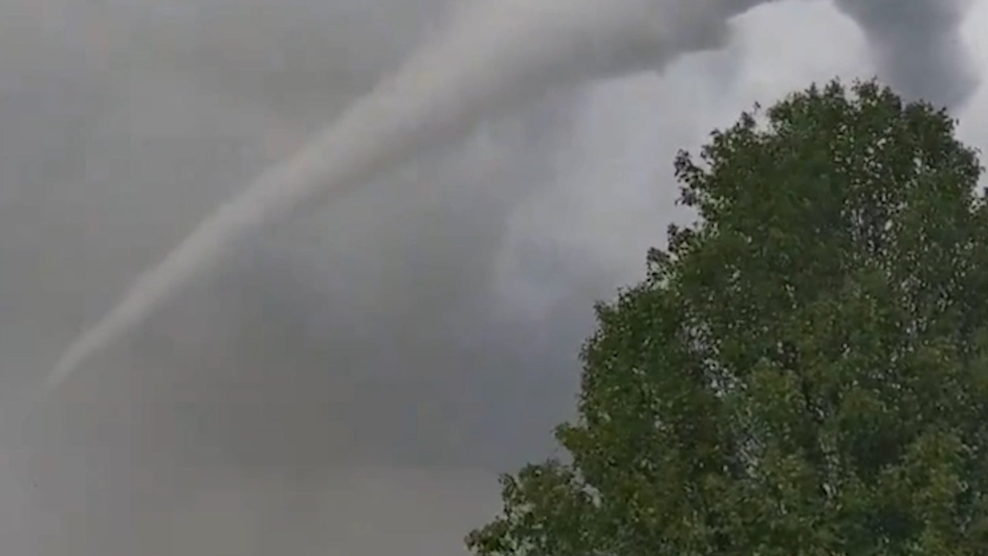
A stunned woman could only scream as she watched her Kansas neighborhood being ripped apart by a tornado. Watch this video to see the dramatic moments as it hovered over homes and then hit the ground.
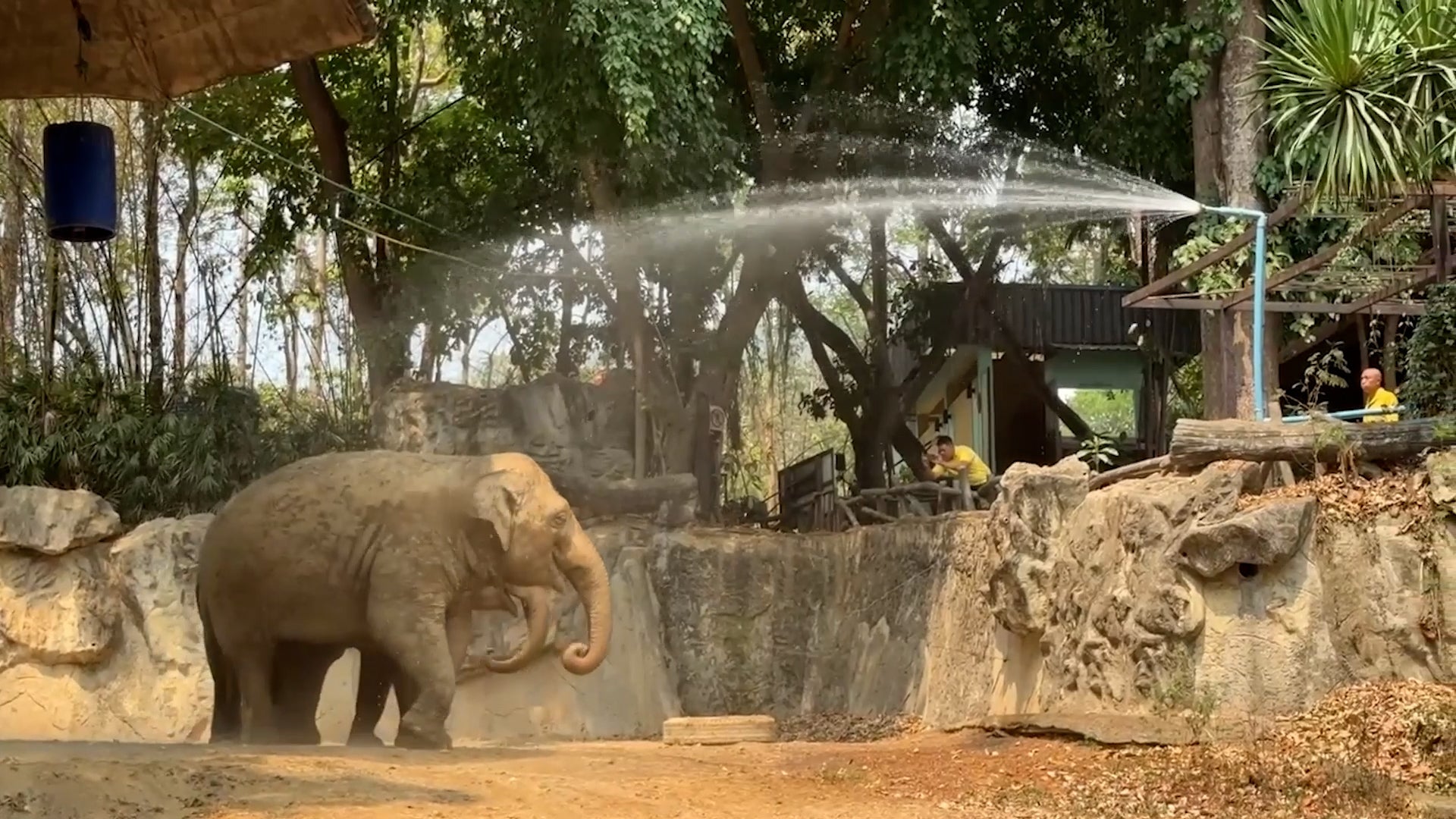
The cutest baby elephants are getting some extra help to stay cool during a record-breaking heat wave in Thailand. Don’t watch this if you don’t want to smile!
Are you into DIY? The Environmental Protection Agency just announced a new ban on a chemical that may be in your paint stripper or degreaser. The EPA administrator says the chemical has "devastated families... for too long". Watch the video for what you need to know.