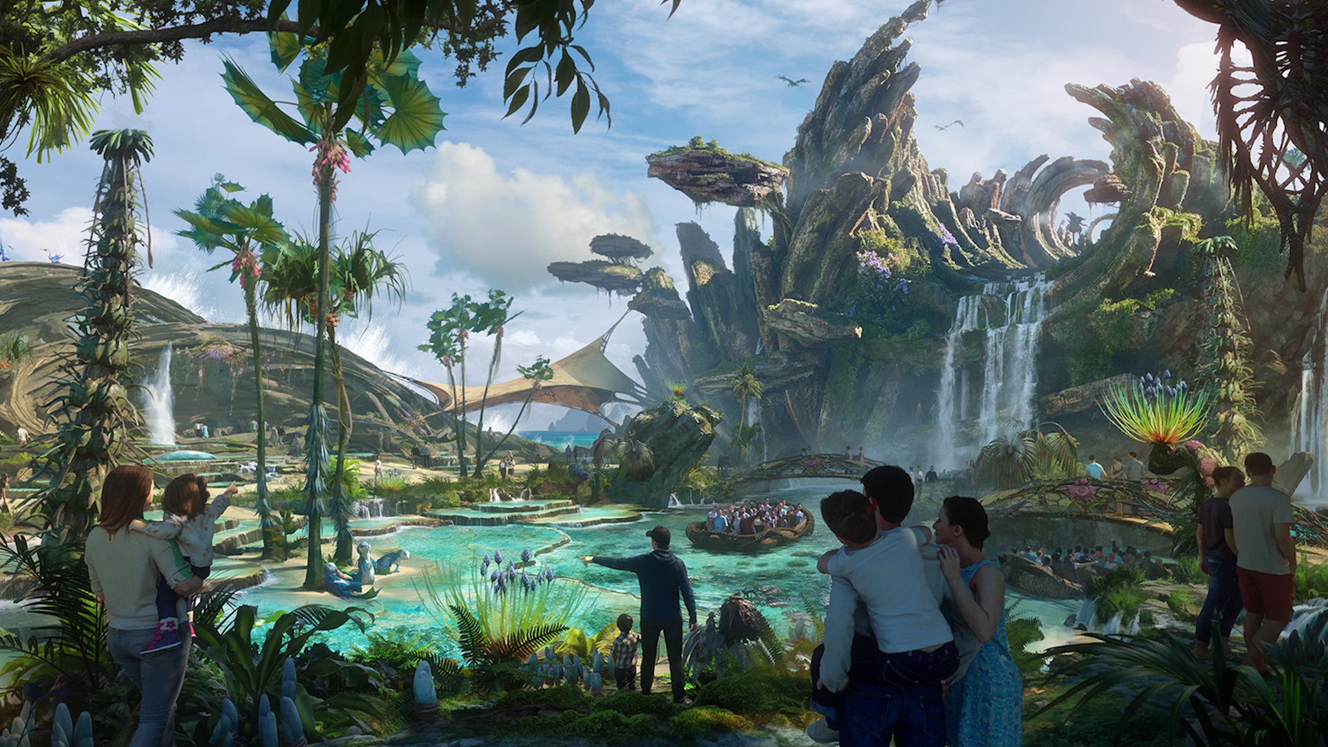
Disneyland has cleared the final hurdle to a major expansion of its beloved theme parks. See what new attraction could be in store and why Disneyland won’t actually be getting bigger.
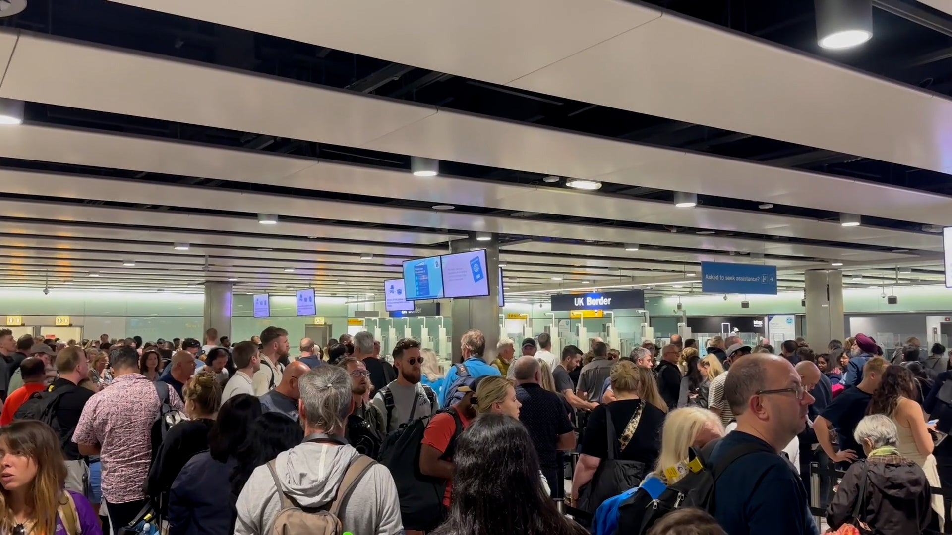
Long lines of passengers were wrapped around terminals across the U.K. after a nationwide problem caused huge delays at some of the world’s busiest airports.