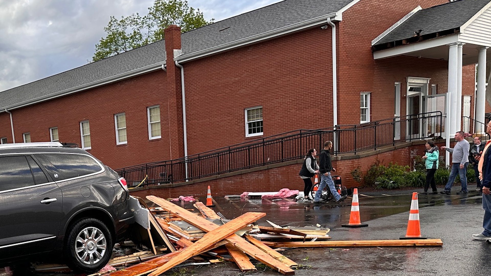
A church was filled with people when a tornado touched down in Finleyville, Pennsylvania. Watch the video to see what happened in the town just south of Pittsburgh.
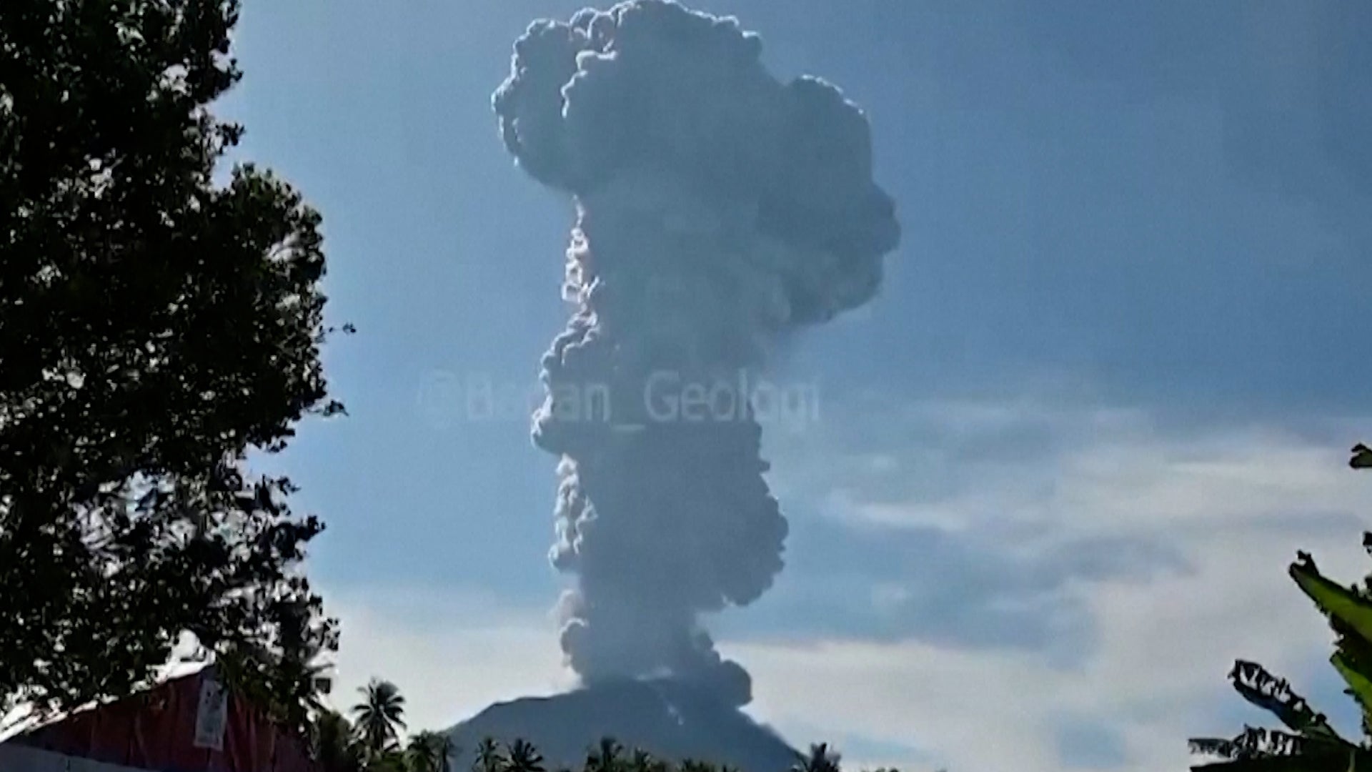
Mount Ibu has erupted, unleashing a towering plume of ash over Indonesia’s North Maluku province with fears that there may be further activity. Thousands of people live dangerously close to Mount Ibu though no evacuations were immediately requested.