A tornado outbreak has left widespread damage across southern Oklahoma. A sprawling warehouse for the Dollar Tree chain of stores is among the businesses hit hard.
An active pattern with a favorable setup for severe weather will be in place again this week. A few tornadoes, large hail and strong winds are all threats.
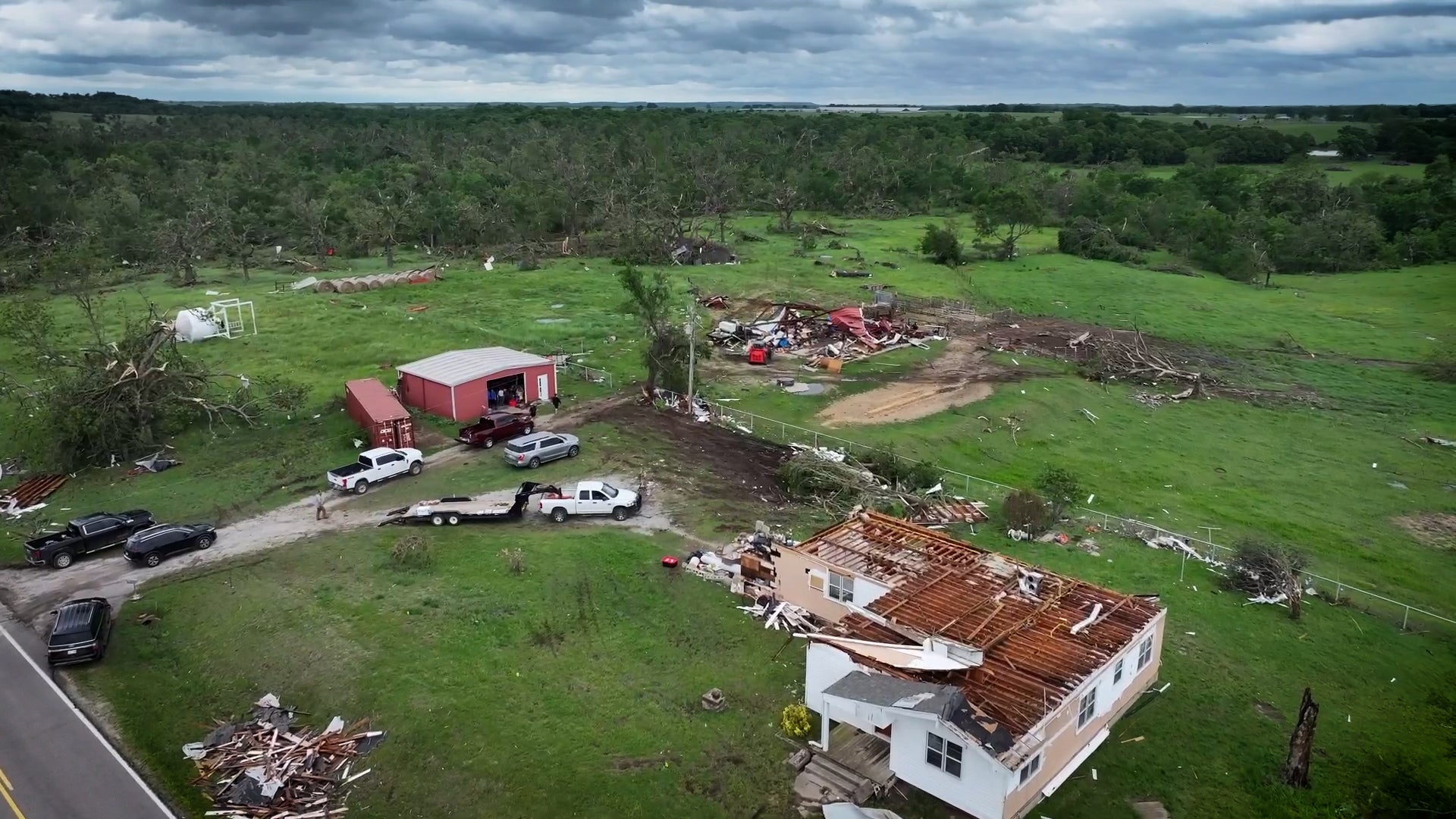
This is all that’s left after a killer tornado struck the town of Holdenville, Oklahoma, located southeast of Oklahoma City. Two people died in the twister, including an infant. In this video, you can see just how severe the damage was.
Drivers were left trapped along part of I-35 in Marietta, Oklahoma after severe storms and reported tornadoes ripped through the area. Watch the video to see the semi-truck that was left on its side.