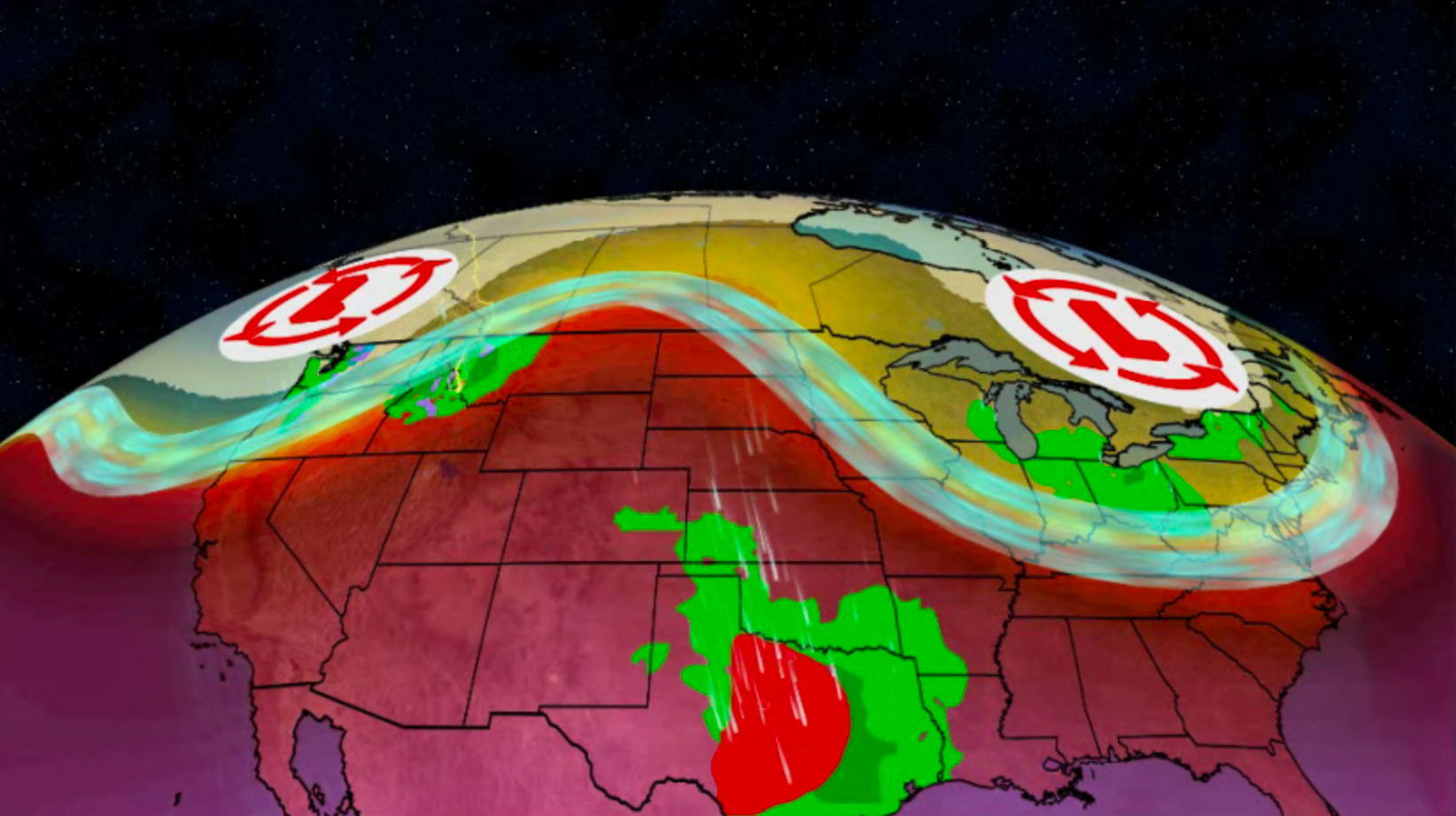
An upper-level pattern change is ahead this week, bringing cooler conditions for some and warmer temperatures for others, but also storms and a flood concern. Here’s what you can expect.
A total of six homes have now collapsed in the Outer Banks of the Carolinas. The area is vulnerable to coastal erosion, increasingly so due to climate change.
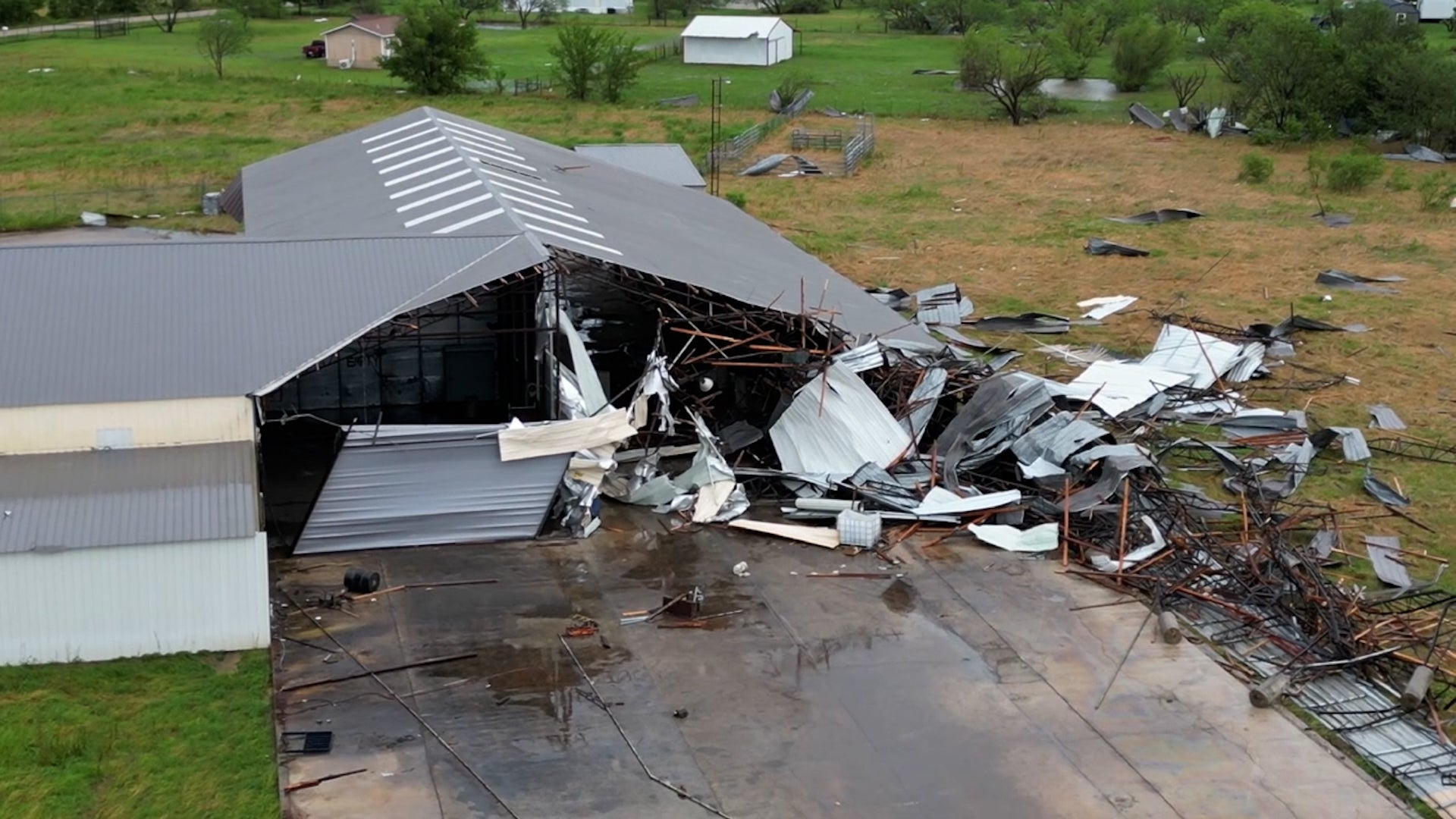
This is a dangerously close call filmed in Missouri. A tornado blasted through a building and crossed a highway right in front of a group of storm chasers.