closegps_fixed
Stormy Pattern Bringing More Severe Weather, Flooding Through Friday
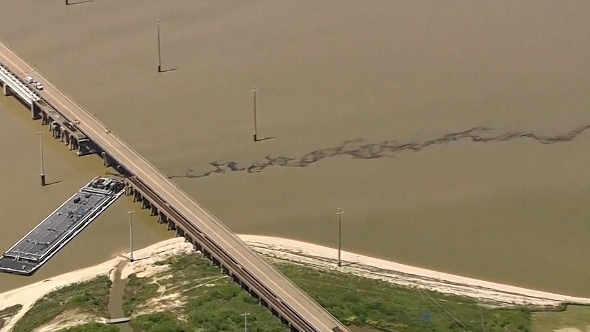
Scattered severe storms and heavy rain will affect the South to end this week. Here's what to know.

Devastating Impact Of Extreme Natural Disasters
From deadly flooding in Brazil to extreme natural disasters in the U.S., millions could be displaced by what’s known as climate migration.

Gusty Winds Send Men Flying During A Midnight Snack
Here’s a good case for checking the weather before you decide to eat outside…

Watch This Magical Moment Between Real-Life Bambi & Thumper
A homeowner in Oregon looked out into his back yard to see a Disney cartoon had come to life.