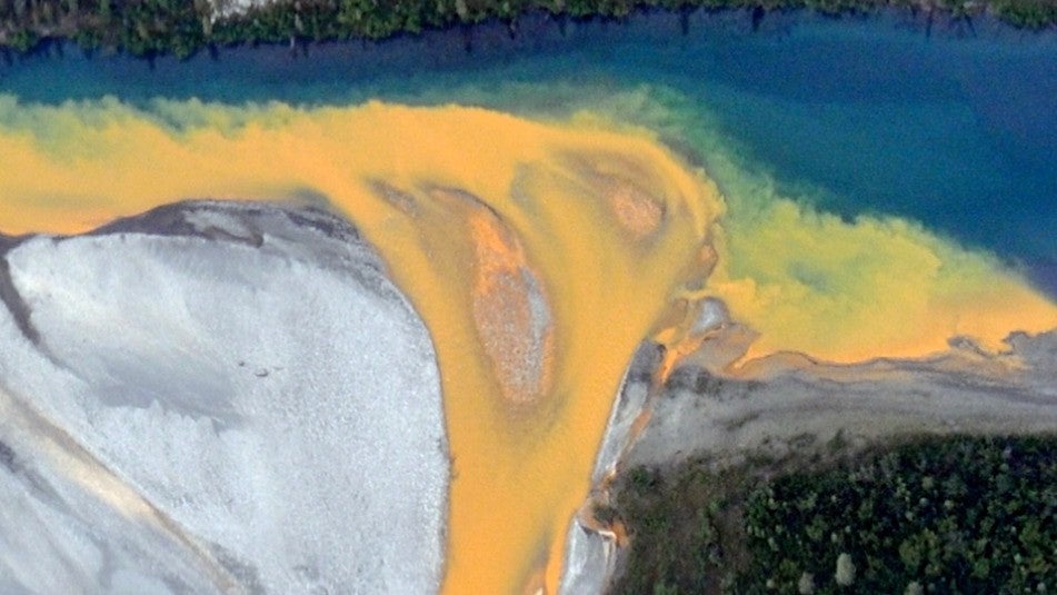
Researchers are taking a close look at a massive, remote part of Alaska where the normally pristine waters have turned a cloudy orange. For more information, click here.
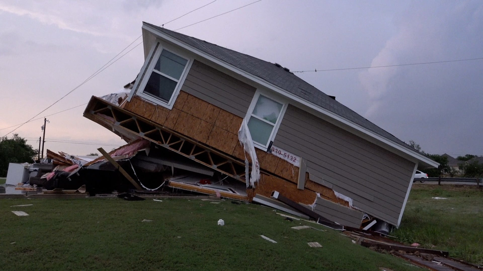
A tornado caused serious damage to homes and businesses in the town of Temple, Texas, located about halfway between Waco and Austin. There were no injuries, but residents will be cleaning up the damage for a long time. Here’s what we saw in the aftermath of the twister.
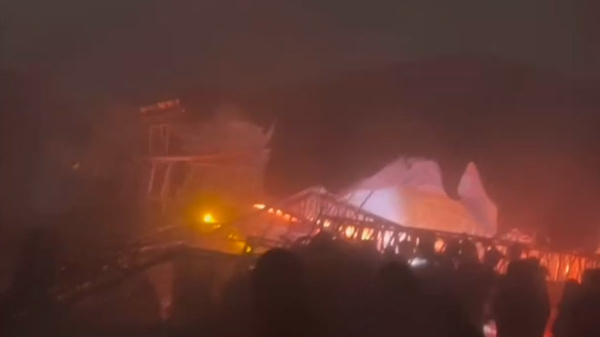
A strong gust of wind caused a stage to collapse at a political rally outside of Monterrey in Nuevo Leon, Mexico. At least nine people were killed and more than 60 others injured. Here’s what we know so far.