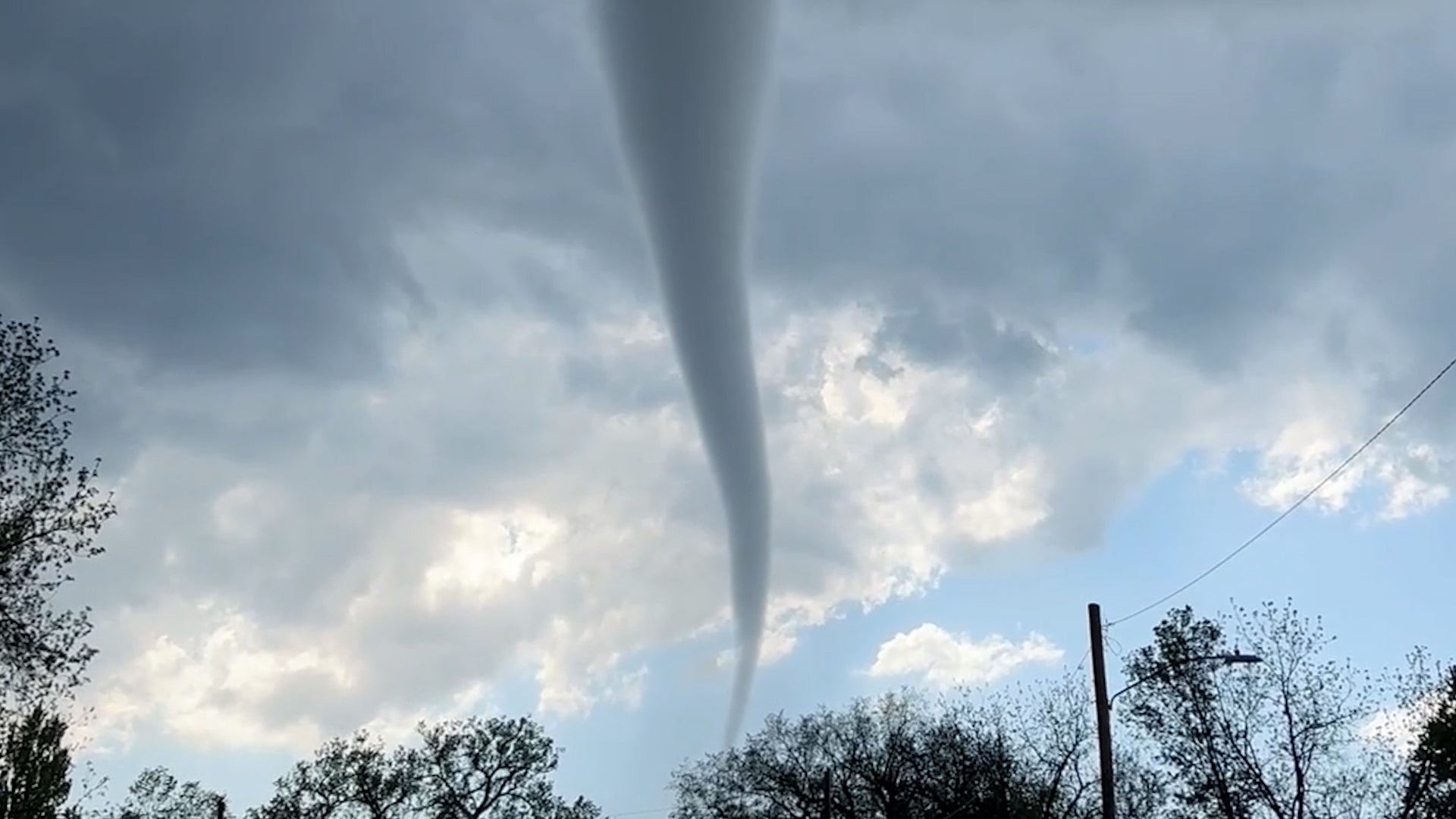
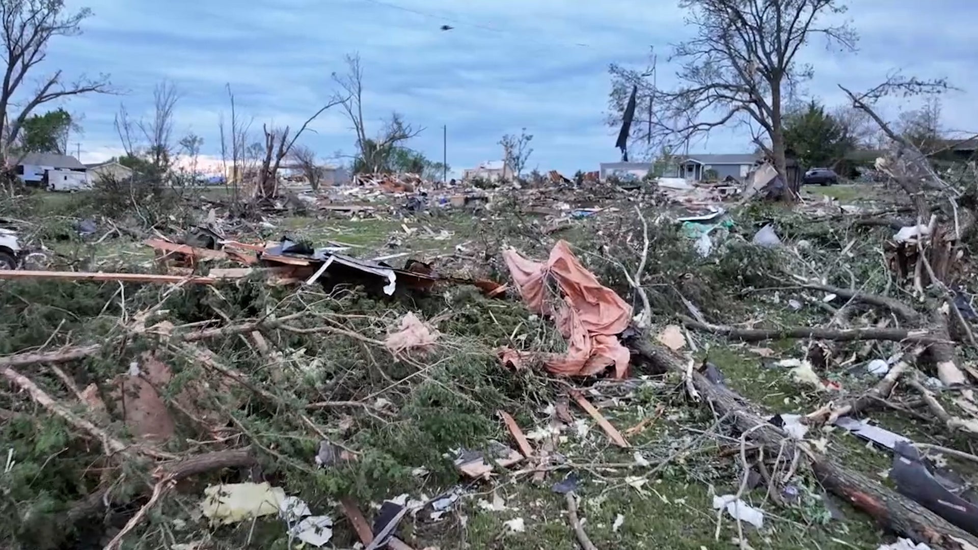
A man who says he was just grabbing a soda at the gas station ended up capturing heart-stopping video of the deadly tornado that tore through a city in northeast Kansas. Watch as he tracks the tornado’s twists and turns.
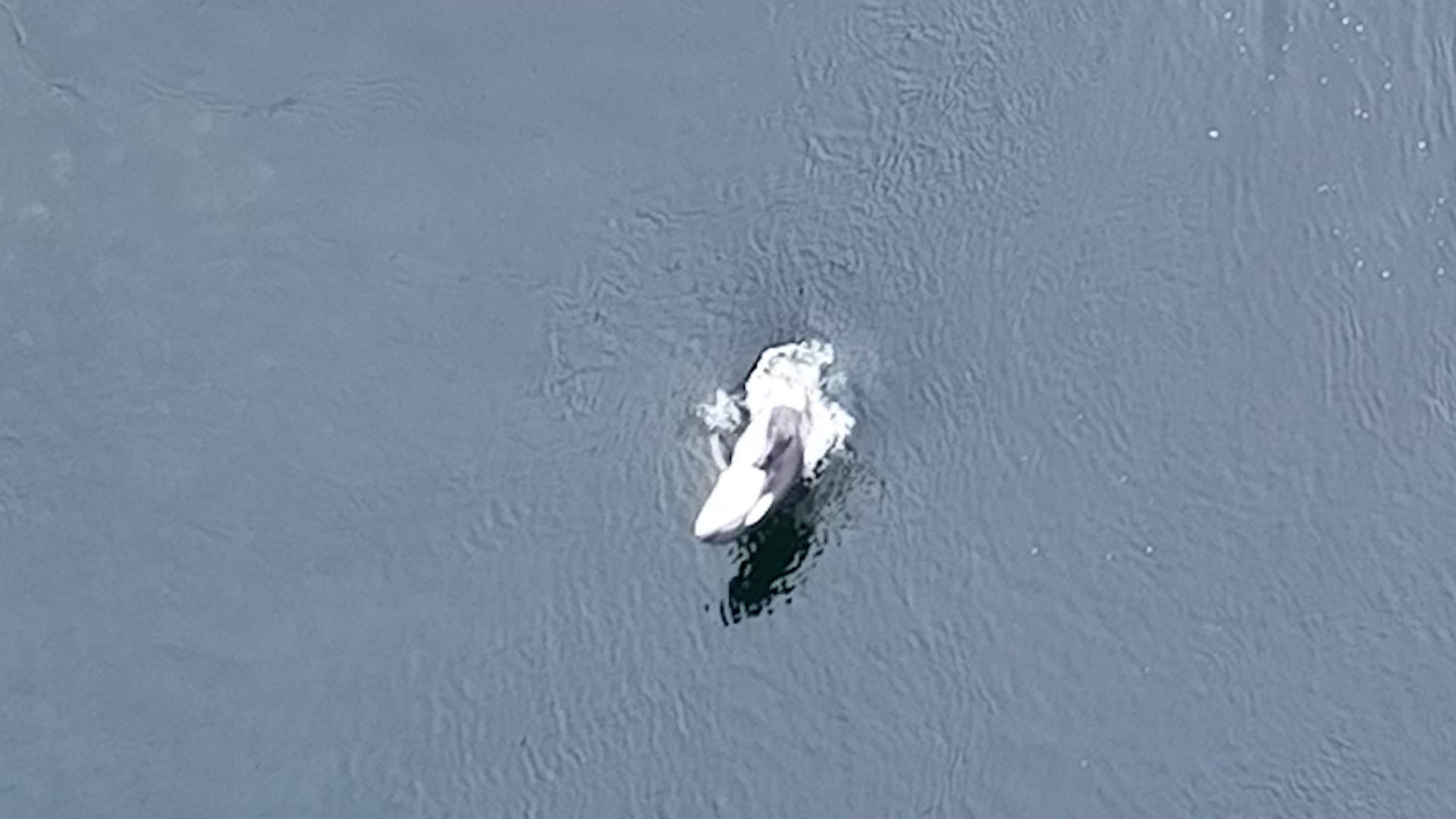
A baby orca spent more than a month trapped in a lagoon off a Vancouver island, and just when hopes of saving her were dimming, she found a way to save herself.