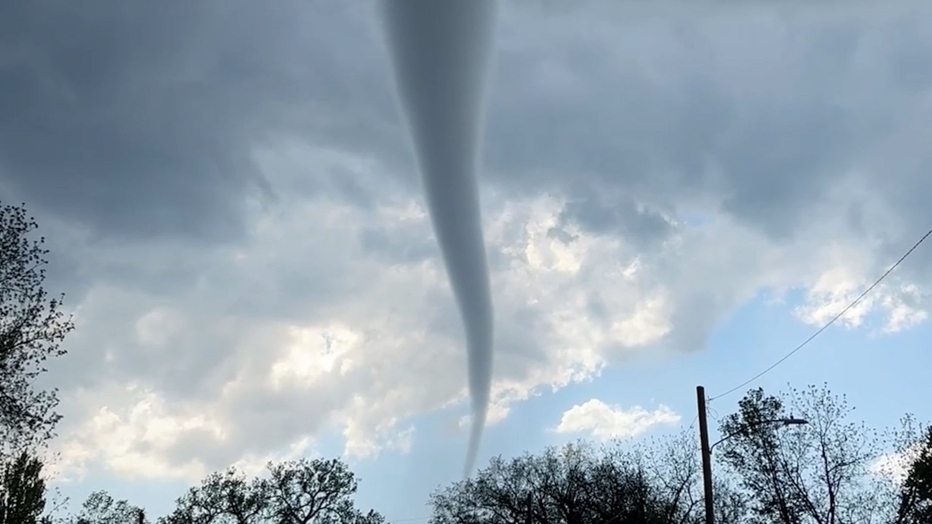
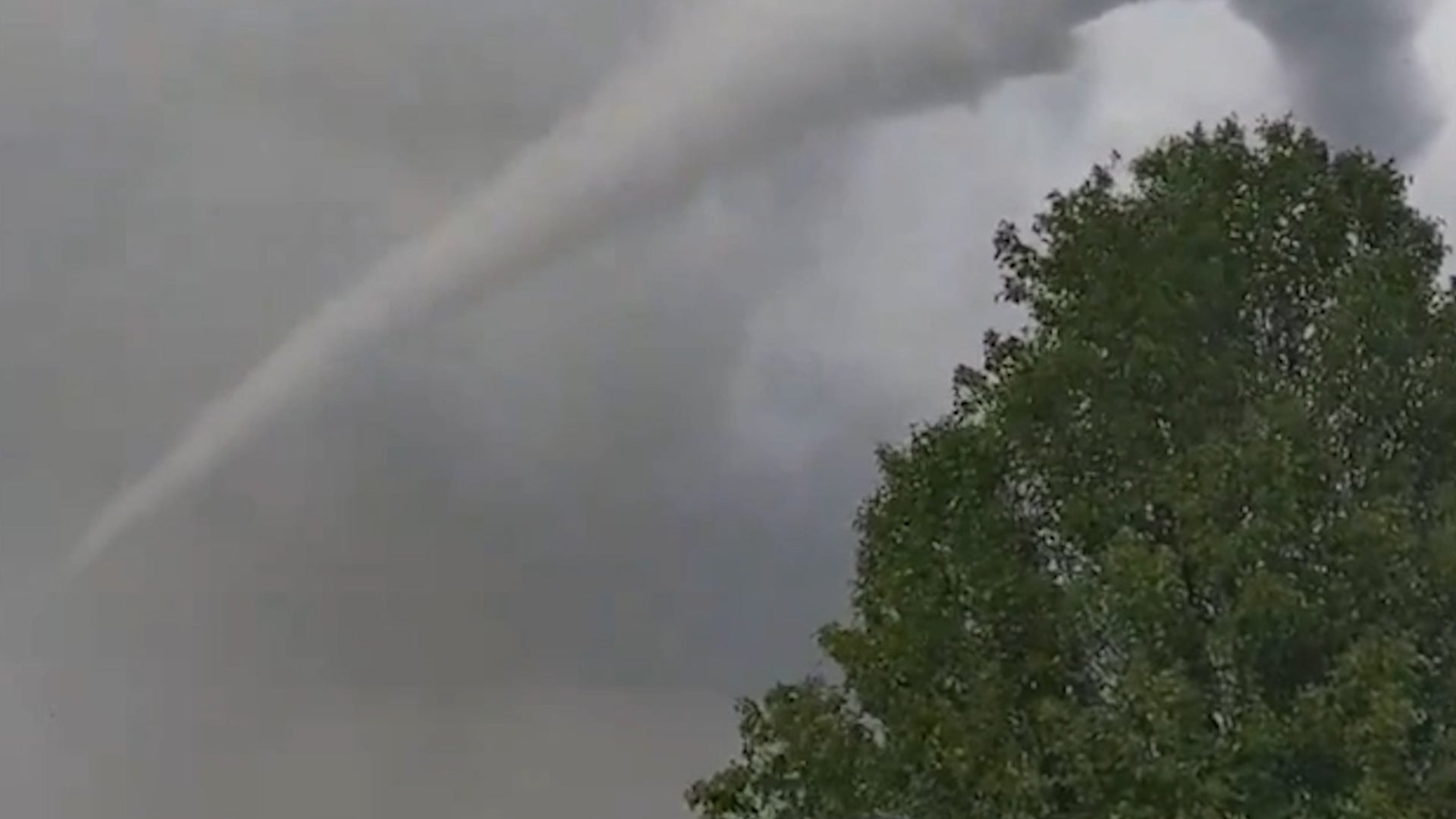
Auburn, AL

3:45 PM CDT on May 19, 2013 (GMT -0500)
Elev: 650 ft
Lon: 85.5° W
Lat: 32.6° N
Source
Rapid Fire Updates™
Updated 3:33 PM CDT Get Free Weather Stickers® Share:
Your Custom Weather Sticker®

Copy the following lines of HTML:
News
May 19, 2013
The latest breaking news, tornado warnings, photos and more.
May 19, 2013
Mice and other critters return from a month long stay in space.
May 19, 2013
Some locations have seen 5 to 6 inches of rainfall.
May 19, 2013
See the tornado, damaging wind and large hail reports on our interactive map.
May 19, 2013
See images and video from the Plains as severe thunderstorms left their mark.
May 19, 2013
Parts of the Plains, Midwest have seen a startling absence of tornadoes.
May 18, 2013
More than five dozens climbers successfully scaled Mount Everest.
May 19, 2013
The photos, reports, and perspective behind flooding rain in parts of Alabama Saturday.
May 17, 2013
Indonesian-born and Qatar-based photographer Helminadia Ranford captured breathtaking photos of Mt. Bromo, an active volcano in East Java, Indonesia.
May 17, 2013
A spacewalk has repaired a leak on the International Space Station, NASA said.
May 18, 2013
Spring warmth has arrived in most of the U.S., except this state.
May 16, 2013
Storm storms leave damage near Shreveport, Louisiana. See photos and tweets.
May 18, 2013
We walk through the full timeline of the Texas tornadoes on May 15, 2013.
May 16, 2013
Where Earth has been changed forever.
May 16, 2013
Thousands of small glaciers, unconnected to continental-scale ice sheets, have dumped about 260 million tons of meltwater into the ocean annually between 2003 and 2009.
May 16, 2013
After months with record-low activity, the 2013 tornado season roared back with a vengeance on Wednesday as at least 10 twisters touched down across portions of north-central Texas, killing at least 6 and injuring dozens more.
May 18, 2013
Steam and ash clouds are occasionally rising to 20,000 feet from an active Alaska volcano.
May 16, 2013
Seismic activity is continuing at the Popocatepetl volcano near Mexico City and authorities say they have readied shelters and identified evacuation routes in case they should be needed.
May 16, 2013
Cyclone Mahasan weakened Thursday afternoon into a tropical storm and then dissipated, causing far less damage than had been feared as it passed over Bangladesh and spared Myanmar almost entirely, meteorological officials said.
May 17, 2013
The Ocean Conservancy releases stunning photos from its recent international beach cleanup day.
Weather Summary
Weather Underground Forecast for Sunday, May 19, 2013.

Severe thunderstorm activity will persist for the Plains on Sunday as a broad low pressure system continues trekking through the region. The system will move from the Northern Plains and into the Great Lakes, creating two frontal boundaries. The warm front associated with this system will extend eastward over the Great Lakes and into the Northeast, kicking up scattered showers and thunderstorms into Sunday night. At the same time, a cold front extends southward from this system which will move off the Central Rockies and into the Central and Southern Plains. Counter-clockwise flow around this broad system will pull moisture and energy into the Plains from the Gulf of Mexico. This will support moderate to heavy showers and thunderstorms in between these two fronts. This system has a history of severe thunderstorm development across the Northern and Central Plains, thus, there is a moderate risk of severe thunderstorm development with large hail, damaging winds, and multiple tornadoes. These severe thunderstorms will most likely develop across central and eastern Oklahoma, through eastern Kansas, and into western Missouri. A slight risk of severe storm development remains in effect from northern Texas, through southern Minnesota and Wisconsin on Sunday. At the same time, the back side of this system will continue spreading moisture over the Intermountain West and Rockies. This will trigger more showers with isolated thunderstorms over the region through Sunday evening.

Meanwhile in the East, a trough of low pressure slowly moves over the East Coast and maintains shower and thunderstorm activity for the Mid-Atlantic states through the Northeast.

Auburn Weather at a Glance

Updated 3:33 PM CDT
Weather Station - Report - Buy a Station
Elevation
646 ft
Report Station
You are about to report this weather station for bad data.

Please select the information which is incorrect and click 'Submit' otherwise click 'Cancel'.

Cancel

Now
Clear
Clear
Temperature
78.9 °F
Feels Like 82 °F
Wind(mph)
0.0
Sunrise / Set
5:40 AM
7:36 PM
Moon
Waxing Gibbous
Today
Chance of a Thunderstorm 86 °F
Chance of T-storms
50% chance of precipitation
Tonight
Chance of a Thunderstorm 64 °F
Chance of T-storms
30% chance of precipitation
Tomorrow
Partly Cloudy 91 | 66 °F
Partly Cloudy
Tuesday
Partly Cloudy 88 | 66 °F
Partly Cloudy
Wednesday
Chance of a Thunderstorm 84 | 66 °F
Chance of T-storms
70% chance of precipitation
Thursday
Chance of a Thunderstorm 84 | 61 °F
Chance of T-storms
50% chance of precipitation
Today is forecast to be nearly the same temperature as yesterday.
Conditions
Pressure
30.07 in
Visibility
10.0 miles
Clouds
Clear -
Moisture
Humidity
75%
Rainfall
0.00 in
Snow Depth
Not available.
METAR
METAR KAUO 192035Z 00000KT 10SM CLR 26/18 A3007 RMK AO1
Don't speak METAR? Read our FAQ.
Weather Radio
Temperature
Heat Index
82 °F
Dew Point
70 °F
Wind
Speed / Dir
Calm
Wind Gust
Health
7 out of 16
Pollen
5.40 out of 12
Pollen Forecast
Air Quality
Not available.
Flu Activity
No Activity
View Flu Map
Loading…
Source: BestForecast
Descriptive Forecast
Sunday
chancetstorms Partly cloudy with a chance of a thunderstorm and a chance of rain. High of 86F. Winds less than 5 mph. Chance of rain 50%.
Sunday Night
nt_chancetstorms Partly cloudy with a chance of a thunderstorm and a chance of rain. Fog overnight. Low of 64F. Winds less than 5 mph. Chance of rain 30%.
Monday
partlycloudy Partly cloudy. High of 91F. Winds from the SSW at 5 to 10 mph.
Monday Night
nt_clear Clear. Low of 66F. Winds from the SE at 5 to 10 mph.
Tuesday
partlycloudy Partly cloudy. High of 88F. Winds less than 5 mph.
Tuesday Night
nt_chancetstorms Partly cloudy with a chance of a thunderstorm and rain after midnight. Low of 66F. Winds from the SE at 5 to 10 mph. Chance of rain 40%.
Wednesday
chancetstorms Partly cloudy with a chance of a thunderstorm and rain. High of 84F. Winds less than 5 mph. Chance of rain 70% with rainfall amounts near 0.3 in. possible.
Wednesday Night
nt_partlycloudy Partly cloudy with a chance of a thunderstorm and rain after midnight. Fog overnight. Low of 66F. Winds from the SSE at 5 to 10 mph. Chance of rain 20%.
Thursday
chancetstorms Partly cloudy with a chance of a thunderstorm and rain in the morning, then clear with a chance of a thunderstorm and rain. High of 84F. Winds less than 5 mph. Chance of rain 50%.
Thursday Night
nt_clear Clear. Low of 61F. Winds less than 5 mph.
Friday
chancetstorms Partly cloudy with a chance of a thunderstorm. High of 88F. Winds from the NW at 5 to 10 mph. Chance of rain 40%.
Friday Night
nt_partlycloudy Partly cloudy. Fog overnight. Low of 63F. Winds from the NNW at 5 to 10 mph.
Saturday
partlycloudy Partly cloudy. High of 84F. Winds from the NW at 5 to 15 mph.
Saturday Night
nt_partlycloudy Partly cloudy. Low of 64F. Winds from the North at 5 to 10 mph.
Sunday
chancetstorms Partly cloudy with a chance of a thunderstorm. High of 84F. Winds from the ENE at 5 to 10 mph. Chance of rain 30%.
Sunday Night
nt_partlycloudy Partly cloudy. Low of 66F. Winds from the East at 5 to 10 mph.
Monday
partlycloudy Partly cloudy with a chance of a thunderstorm. High of 81F. Winds from the East at 5 to 10 mph. Chance of rain 20%.
Monday Night
nt_partlycloudy Clear. Fog overnight. Low of 66F. Winds from the ESE at 5 to 10 mph.
Tuesday
partlycloudy Partly cloudy. High of 82F. Winds less than 5 mph.
Tuesday Night
nt_partlycloudy Partly cloudy. Fog overnight. Low of 66F. Winds less than 5 mph.
Wednesday
chancetstorms Clear with a chance of a thunderstorm. High of 84F. Winds less than 5 mph. Chance of rain 40%.
Wednesday Night
nt_clear Clear. Fog overnight. Low of 66F. Winds less than 5 mph.
Loading…
 
First Previous Last Next  
Updated:  


Weather Forecast for Auburn AL

View Calendar 10-Day Forecast for station KALAUBUR4

Sunday, 19
Chance of a Thunderstorm
86 | 64 °F
Chance of T-storms
Chance of
Precipitation
50%
Monday, 20
Partly Cloudy
91 | 66 °F
Partly Cloudy
Chance of
Precipitation
10%
Tuesday, 21
Partly Cloudy
88 | 66 °F
Partly Cloudy
Chance of
Precipitation
10%
Wednesday, 22
Chance of a Thunderstorm
84 | 66 °F
Chance of T-storms
Chance of
Precipitation
70%
Thursday, 23
Chance of a Thunderstorm
84 | 61 °F
Chance of T-storms
Chance of
Precipitation
50%
Friday, 24
Chance of a Thunderstorm
88 | 63 °F
Chance of T-storms
Chance of
Precipitation
40%
Saturday, 25
Partly Cloudy
84 | 64 °F
Partly Cloudy
Chance of
Precipitation
0%
Sunday, 26
Chance of a Thunderstorm
84 | 66 °F
Chance of T-storms
Chance of
Precipitation
30%
Monday, 27
Chance of a Thunderstorm
81 | 66 °F
Chance of a Thunderstorm
Chance of
Precipitation
20%
Tuesday, 28
Partly Cloudy
82 | 66 °F
Partly Cloudy
Chance of
Precipitation
0%
Source: BestForecast at 8:39 AM CDT on May 19, 2013
Descriptive Forecast
Sunday
chancetstorms Partly cloudy with a chance of a thunderstorm and a chance of rain. High of 86F. Winds less than 5 mph. Chance of rain 50%.
Sunday Night
nt_chancetstorms Partly cloudy with a chance of a thunderstorm and a chance of rain. Fog overnight. Low of 64F. Winds less than 5 mph. Chance of rain 30%.
Hourly Forecast 6AM 12 Noon 6PM 12 Midnight
Temp. | Dew Point 65 | 63 82 | 64 82 | 64 71 | 63
Wind 4 mph SSW 5 mph SW 3 mph SW 3 mph SSE
Humidity 91% 55% 52% 79%
Chance of Precip. 40% 50% 50% 30%
Cloud Cover 73% 64% 64% 39%
Conditions Chance of a Thunderstorm Chance of a Thunderstorm Chance of a Thunderstorm Chance of a Thunderstorm
Sunrise & Sunset
5:40 AM
7:36 PM
The quality of the forecasted high temperature for this day is good. MaxT RMSE [1.82], Average RMSE [1.29]
The National Weather Service forecast quality is good. MaxT RMSE [1.61], Average RMSE [2.17] : Use NWS
Source: BestForecast at 8:39 AM CDT on May 19, 2013
Descriptive Forecast
Monday
partlycloudy Partly cloudy. High of 91F. Winds from the SSW at 5 to 10 mph.
Monday Night
nt_clear Clear. Low of 66F. Winds from the SE at 5 to 10 mph.
Hourly Forecast 6AM 12 Noon 6PM 12 Midnight
Temp. | Dew Point 68 | 64 84 | 63 86 | 63 71 | 64
Wind 2 mph SSE 6 mph SW 6 mph SW 4 mph ESE
Humidity 85% 49% 44% 78%
Chance of Precip. 10% 10% 10% 10%
Cloud Cover 37% 30% 20% 10%
Conditions Fog Partly Cloudy Clear Clear
Sunrise & Sunset
5:40 AM
7:37 PM
The quality of the forecasted high temperature for this day is good. MaxT RMSE [1.80], Average RMSE [1.87]
The National Weather Service forecast quality is good. MaxT RMSE [2.04], Average RMSE [2.76] : Use NWS
Source: BestForecast at 8:39 AM CDT on May 19, 2013
Descriptive Forecast
Tuesday
partlycloudy Partly cloudy. High of 88F. Winds less than 5 mph.
Tuesday Night
nt_chancetstorms Partly cloudy with a chance of a thunderstorm and rain after midnight. Low of 66F. Winds from the SE at 5 to 10 mph. Chance of rain 40%.
Hourly Forecast 6AM 12 Noon 6PM 12 Midnight
Temp. | Dew Point 70 | 64 86 | 65 81 | 63 71 | 66
Wind 2 mph SSE 4 mph South 3 mph SSW 6 mph SE
Humidity 81% 49% 55% 86%
Chance of Precip. 10% 10% 10% 0%
Cloud Cover 8% 32% 20% 1%
Conditions Clear Partly Cloudy Clear Clear
Sunrise & Sunset
5:39 AM
7:37 PM
The quality of the forecasted high temperature for this day is poor. MaxT RMSE [3.70], Average RMSE [2.25]
The National Weather Service forecast quality is good. MaxT RMSE [2.08], Average RMSE [2.74] : Use NWS
Source: BestForecast at 8:39 AM CDT on May 19, 2013
Descriptive Forecast
Wednesday
chancetstorms Partly cloudy with a chance of a thunderstorm and rain. High of 84F. Winds less than 5 mph. Chance of rain 70% with rainfall amounts near 0.3 in. possible.
Wednesday Night
nt_partlycloudy Partly cloudy with a chance of a thunderstorm and rain after midnight. Fog overnight. Low of 66F. Winds from the SSE at 5 to 10 mph. Chance of rain 20%.
Hourly Forecast 6AM 12 Noon 6PM 12 Midnight
Temp. | Dew Point 71 | 67 82 | 71 79 | 70 69 | 67
Wind 3 mph SSE 4 mph SSE 5 mph SE 5 mph SE
Humidity 87% 67% 71% 93%
Chance of Precip. 20% 30% 30% 10%
Cloud Cover 17% 63% 68% 56%
Conditions Chance of a Thunderstorm Chance of a Thunderstorm Chance of a Thunderstorm Partly Cloudy
Sunrise & Sunset
5:39 AM
7:38 PM
The quality of the forecasted high temperature for this day is good. MaxT RMSE [2.36], Average RMSE [2.73]
The National Weather Service forecast quality is fair. MaxT RMSE [2.69], Average RMSE [3.04] : Use NWS
Source: BestForecast at 8:39 AM CDT on May 19, 2013
Descriptive Forecast
Thursday
chancetstorms Partly cloudy with a chance of a thunderstorm and rain in the morning, then clear with a chance of a thunderstorm and rain. High of 84F. Winds less than 5 mph. Chance of rain 50%.
Thursday Night
nt_clear Clear. Low of 61F. Winds less than 5 mph.
Hourly Forecast 6AM 12 Noon 6PM 12 Midnight
Temp. | Dew Point 66 | 65 82 | 67 81 | 67 67 | 63
Wind 4 mph South 4 mph SW 5 mph NW 2 mph ENE
Humidity 99% 61% 64% 84%
Chance of Precip. 20% 20% 10% 10%
Cloud Cover 64% 14% 0% 0%
Conditions Chance of a Thunderstorm Chance of a Thunderstorm Clear Clear
Sunrise & Sunset
5:38 AM
7:39 PM
The quality of the forecasted high temperature for this day is fair. MaxT RMSE [3.39], Average RMSE [3.66]
The National Weather Service forecast quality is fair. MaxT RMSE [2.64], Average RMSE [3.07] : Use NWS
Source: BestForecast at 8:39 AM CDT on May 19, 2013
Descriptive Forecast
Friday
chancetstorms Partly cloudy with a chance of a thunderstorm. High of 88F. Winds from the NW at 5 to 10 mph. Chance of rain 40%.
Friday Night
nt_partlycloudy Partly cloudy. Fog overnight. Low of 63F. Winds from the NNW at 5 to 10 mph.
Hourly Forecast 6AM 12 Noon 6PM 12 Midnight
Temp. | Dew Point 71 | 66 82 | 70 82 | 68 68 | 67
Wind 1 mph NNW 7 mph West 7 mph NW 5 mph NNW
Humidity 84% 67% 62% 96%
Chance of Precip. 10% 10% 20% 10%
Cloud Cover 0% 6% 45% 73%
Conditions Clear Clear Chance of a Thunderstorm Fog
Sunrise & Sunset
5:38 AM
7:39 PM
The quality of the forecasted high temperature for this day is poor. MaxT RMSE [3.79], Average RMSE [3.21]
The National Weather Service forecast quality is fair. MaxT RMSE [3.20], Average RMSE [3.15] : Use NWS
Source: BestForecast at 8:39 AM CDT on May 19, 2013
Descriptive Forecast
Saturday
partlycloudy Partly cloudy. High of 84F. Winds from the NW at 5 to 15 mph.
Saturday Night
nt_partlycloudy Partly cloudy. Low of 64F. Winds from the North at 5 to 10 mph.
Hourly Forecast 6AM 12 Noon 6PM 12 Midnight
Temp. | Dew Point 65 | 64 79 | 65 81 | 62 68 | 60
Wind 5 mph North 8 mph NNW 9 mph NW 7 mph North
Humidity 98% 60% 53% 78%
Chance of Precip. 0% 0% 10% 0%
Cloud Cover 50% 2% 68% 71%
Conditions Partly Cloudy Clear Mostly Cloudy Mostly Cloudy
Sunrise & Sunset
5:37 AM
7:40 PM
The quality of the forecasted high temperature for this day is poor. MaxT RMSE [3.92], Average RMSE [2.74]
The National Weather Service forecast quality is fair. MaxT RMSE [3.30], Average RMSE [3.22] : Use NWS
Source: BestForecast at 8:39 AM CDT on May 19, 2013
Descriptive Forecast
Sunday
chancetstorms Partly cloudy with a chance of a thunderstorm. High of 84F. Winds from the ENE at 5 to 10 mph. Chance of rain 30%.
Sunday Night
nt_partlycloudy Partly cloudy. Low of 66F. Winds from the East at 5 to 10 mph.
Hourly Forecast 6AM 12 Noon 6PM 12 Midnight
Temp. | Dew Point 65 | 59 80 | 63 74 | 67 67 | 65
Wind 6 mph North 7 mph East 9 mph ENE 4 mph East
Humidity 80% 54% 79% 93%
Chance of Precip. 0% 0% 30% 10%
Cloud Cover 27% 45% 62% 42%
Conditions Partly Cloudy Partly Cloudy Chance of a Thunderstorm Partly Cloudy
Sunrise & Sunset
5:37 AM
7:41 PM
The quality of the forecasted high temperature for this day is poor. MaxT RMSE [4.59], Average RMSE [3.69]
Source: BestForecast at 8:39 AM CDT on May 19, 2013
Descriptive Forecast
Monday
partlycloudy Partly cloudy with a chance of a thunderstorm. High of 81F. Winds from the East at 5 to 10 mph. Chance of rain 20%.
Monday Night
nt_partlycloudy Clear. Fog overnight. Low of 66F. Winds from the ESE at 5 to 10 mph.
Hourly Forecast 6AM 12 Noon 6PM 12 Midnight
Temp. | Dew Point 66 | 64 78 | 64 76 | 66 67 | 66
Wind 6 mph East 6 mph East 6 mph ESE 5 mph ESE
Humidity 89% 62% 72% 97%
Chance of Precip. 10% 0% 10% 10%
Cloud Cover 36% 32% 29% 27%
Conditions Partly Cloudy Partly Cloudy Partly Cloudy Partly Cloudy
Sunrise & Sunset
5:36 AM
7:41 PM
The quality of the forecasted high temperature for this day is poor. MaxT RMSE [4.40], Average RMSE [2.71]
Source: BestForecast at 8:39 AM CDT on May 19, 2013
Descriptive Forecast
Tuesday
partlycloudy Partly cloudy. High of 82F. Winds less than 5 mph.
Tuesday Night
nt_partlycloudy Partly cloudy. Fog overnight. Low of 66F. Winds less than 5 mph.
Hourly Forecast 6AM 12 Noon 6PM 12 Midnight
Temp. | Dew Point 66 | 66 78 | 66 77 | 66 67 | 66
Wind 5 mph ESE 5 mph ESE 5 mph ESE 4 mph SE
Humidity 99% 66% 70% 97%
Chance of Precip. 0% 0% 0% 0%
Cloud Cover 24% 35% 58% 57%
Conditions Fog Partly Cloudy Partly Cloudy Partly Cloudy
Sunrise & Sunset
5:36 AM
7:42 PM
Source: BestForecast at 8:39 AM CDT on May 19, 2013
Descriptive Forecast
Wednesday
chancetstorms Clear with a chance of a thunderstorm. High of 84F. Winds less than 5 mph. Chance of rain 40%.
Wednesday Night
nt_clear Clear. Fog overnight. Low of 66F. Winds less than 5 mph.
Hourly Forecast 6AM 12 Noon 6PM 12 Midnight
Temp. | Dew Point 67 | 66 80 | 68 79 | 70 68 | 68
Wind 4 mph SE 4 mph SE 4 mph SE 4 mph SSE
Humidity 98% 66% 73% 100%
Chance of Precip. 0% 10% 10% 10%
Cloud Cover 34% 20% 16% %
Conditions Fog Clear Clear Fog
Sunrise & Sunset
Sun does not rise
Nearby
History & Almanac
May 19, 2013 Max Temp Min Temp
Normal (KAUO) - -
Record (KAUO) 94 °F (1962) 46 °F (1973)
Yesterday 75 °F 63 °F
Yesterday's Cooling Degree Days: 4
Choose a date
Earthquake Activity
City Distance Mag. Time & Date
No recent earthquake activity has been reported nearby.
Minimum magnitude displayed is 2.5.
Astronomy
May. 19, 2013 Rise Set
Actual Time 5:40 AM CDT 7:36 PM CDT
Civil Twilight 5:13 AM CDT 8:04 PM CDT
Nautical Twilight 4:40 AM CDT 8:37 PM CDT
Astronomical Twilight 4:05 AM CDT 9:12 PM CDT
Moon 1:58 PM CDT 1:43 AM CDT
Length Of Visible Light 14h 50m
Length of Day
13h 55m
Tomorrow will be 1m 15s longer.
Waxing Gibbous, 67% of the Moon is Illuminated
Today
Waxing Gibbous
May 24
Full
May 31
Last Quarter
Jun 8
New
Jun 16
First Quarter
Today's Extremes
State Highs State Lows
86 °F
Ozark
86 °F
Andalusia
85 °F
Maxwell AFB
64 °F
Troy
66 °F
Maxwell AFB
66 °F
Ozark
66 °F
Andalusia
Snow Depth
Station Depth Elevation
No new snow has been reported.
WunderPhotos®
Salcha River
The One That Got Away
Uploaded by: katy99780
1,612,908 photos uploaded!
WunderBlogs®

There are no recent blogs in this area. Why not create your own?

Travel & Activities
Travel Planning
Destination? *
When are you going?
to
Is there an activity you would like to explore?
* Required field
Aviation
City Temp. Conditions Updated
Auburn 79 °F Clear 3:35 PM CDT
Columbus 77 °F Light Rain 3:51 PM EDT
Fort Benning 82 °F Mostly Cloudy 4:10 PM EDT
Alexander City 83 °F Clear 3:35 PM CDT
Flight To ETA Status
No flights were found.
Flight Tracker by FlightAware FlightAware
Type Condition
Flight Rule: VFR (KAUO)
Wind Speed: 0.0 kts.
Wind Dir: 163° (SSE)
Ceiling: Unlimited

METAR KAUO 192035Z 00000KT 10SM CLR 26/18 A3007 RMK AO1

Nearby Events
Event Date Forecast
No events within 10 mi of location. View all events.
Event data courtesy eviesays.com
Sports
Event Date Forecast
Mariners vs. Indians 1:05 PM EDT on May 19, 2013 Partly Cloudy, 74 °F
Blue Jays vs. Yankees 1:05 PM EDT on May 19, 2013 Chance of Rain, 61 °F
Event Date Forecast
SC Heerenveen vs. FC Utrecht 4:30 PM CEST on May 19, 2013 Clear, High 64° F/ 18° C
Everton vs. Chelsea 4:00 PM BST on May 19, 2013 Overcast, High 66° F/ 19° C
Event Date Forecast
Coca-Cola 600 6:16 PM EDT on May 26, 2013 Average High 79° F/ 26° C
FedEx 400 benefiting Autism Speaks 1:15 PM EDT on June 02, 2013 Average High 81° F/ 27° C
Event Date Forecast
Crowne Plaza Invitational at Colonial 8:30 AM CDT on May 23, 2013 Partly Cloudy, 67 °F
Crowne Plaza Invitational at Colonial 8:30 AM CDT on May 24, 2013 Partly Cloudy, 68 °F
Videos
Year In Weather 2012

Watch the nearly year-long satellite animation as Weather Underground calls out the most significant weather events of the past year, including Superstorm Sandy and Hurricane Isaac.

Weather Stations
Station Location Temp. Heat Index Dew Point Humidity Wind Precipitation Elevation Updated Type Website
Auburn, AL 78.9 °F 82 °F 70 °F 75% SSE  at  0.0 mph - / hr 646 ft 3:33 PM CDT Normal  
APRSWXNET Auburn AL , Auburn, AL 79 °F 81 °F 68 °F 69% North  at  0 mph 0.00 in / hr 708 ft 3:15 PM CDT MADIS
RAWS TUSKEGEE AL, Auburn, AL 86 °F 88 °F 66 °F 52% WSW  at  3 mph 0.00 in / hr 508 ft 2:26 PM CDT MADIS
APRSWXNET Tuskegee AL , Tuskegee, AL 84 °F 89 °F 71 °F 65% NE  at  0 mph 0.00 in / hr 275 ft 3:14 PM CDT MADIS
Opelika, Opelika, AL 79.0 °F 82 °F 70 °F 73% North  at  0.0 mph 0.00 in / hr 785 ft 3:43 PM CDT Rapid Fire
MesoWest TUSKEGEE , Tuskegee Institute, AL 83 °F 86 °F 68 °F 60% SE  at  3 mph 0.00 in / hr 399 ft 2:00 PM CDT MADIS
Would you like to share your weather data with the rest of the world? Add Your Weather Station!